

Taichung Green Museumbrary
臺中綠美圖尋路系統
2025・Wayfinding
location
taichung, taiwan
realization
Dec. 2025
client
Taichung Green Museumbrary
architecture
SANAA
branding
aaronniehworkshop
design team
Szu-an Yu
Chuan-wei Ting
Wan-yun Chen
I-chien Chen
Vincent Yuan
photography
Studio Millspace
當一個建築成爲可被漫遊的公共地景,鼓勵人們透過移動去探索,甚至在迷失的過程中感受空間本身的魅力時,尋路系統該如何在協助人們辨識方向的同時,延續建築原有的開放性格?
When a building becomes a public landscape for exploration, how can a wayfinding system provide orientation while preserving the openness of the architecture?
綠美圖的空間與移動經驗,主要圍繞著兩個課題:
複雜的空間連結,以及持續變化的動線系統。
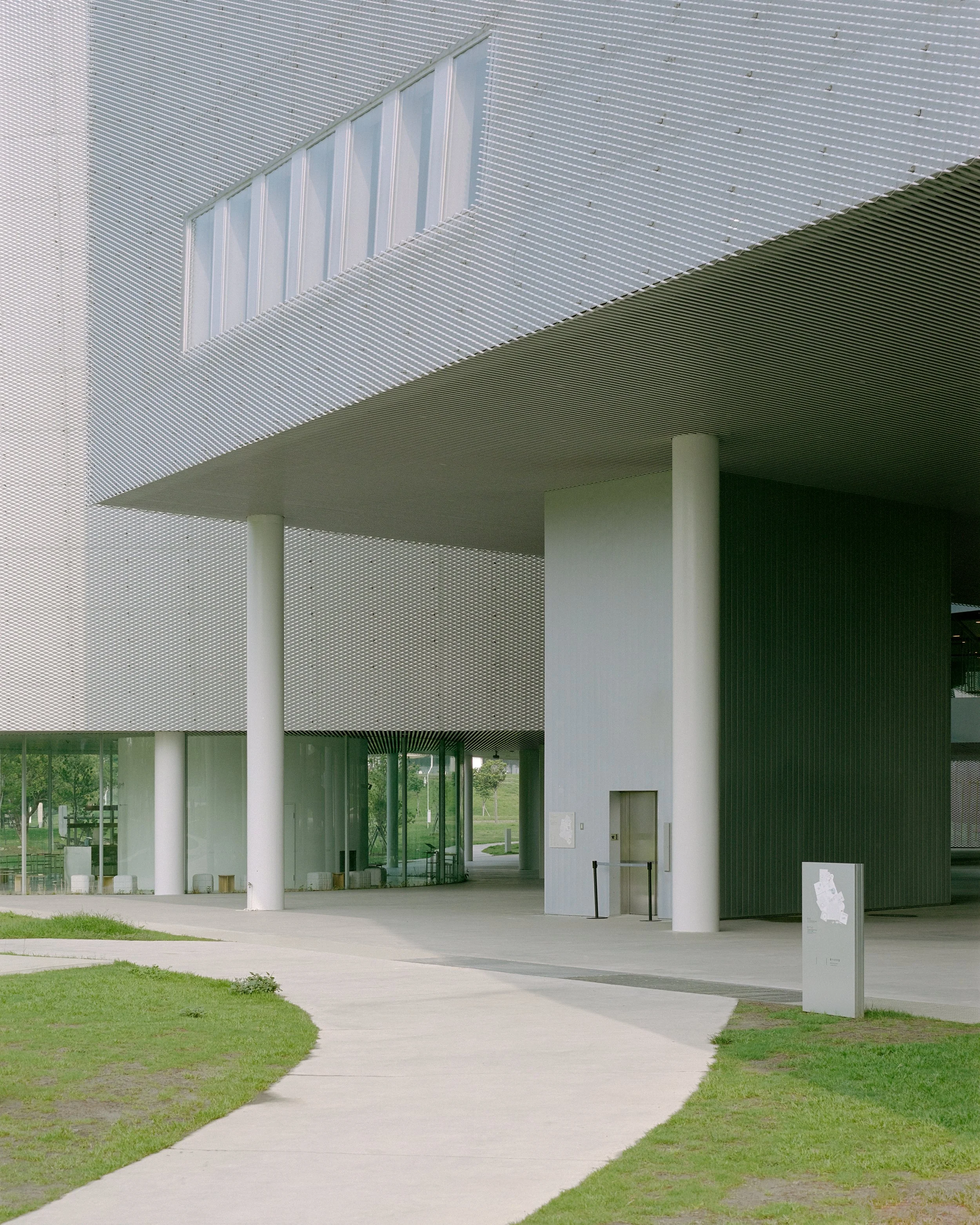
由SANAA規劃設計的臺中綠美圖,建築本身具有高度開放、流動及去中心化的特質,空間彼此錯動、穿插;圖書館與美術館也未被完全分離,而是在某些區域互相交會、共享與滲透。人們可能從地下停車場或公園的不同方位進入建築;而不同入口,也代表著不同的空間系統與移動方式。在這樣高度開放的空間之中,有 些區域彼此可見,卻未必能直接抵達。「看得到,不代表到得了」也成為這類建 築相當典型的空間經驗。
The spatial and circulation experience of the Green Museumbrary is shaped by two key challenges: complex spatial connections and an ever-changing circulation system.
Designed by Kazuyo Sejima and Ryue Nishizawa of SANAA, the Taichung Green Museumbrary is defined by openness, fluidity, and a decentralized spatial structure. Library and museum spaces overlap and interweave rather than being fully separated. Visitors may enter from the park or underground parking, with each entrance leading to a different spatial experience. Within this open environment, spaces are often visible but not directly accessible—seeing a destination does not necessarily mean being able to reach it.
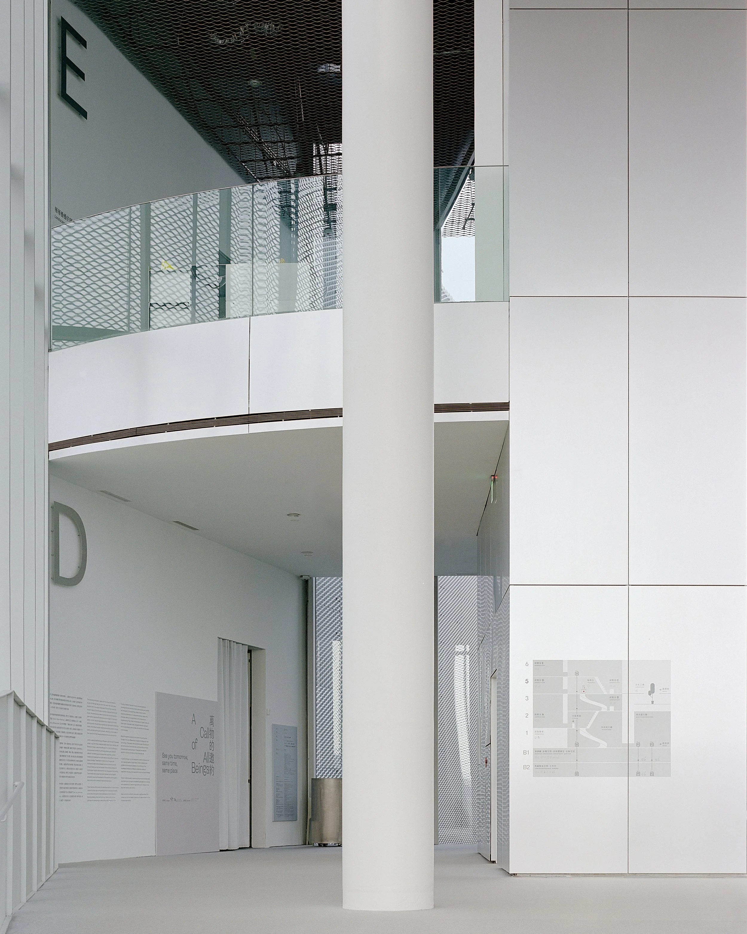
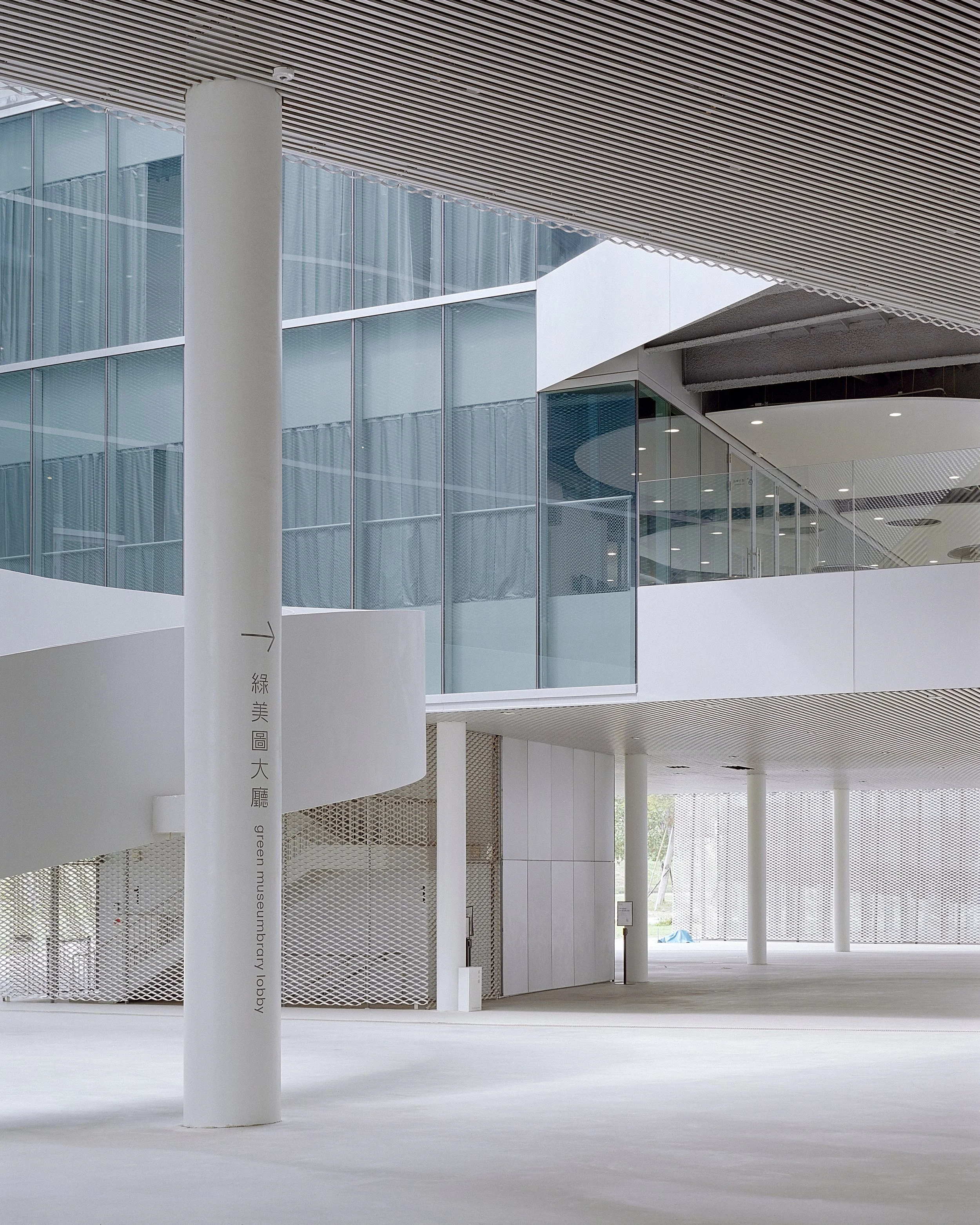
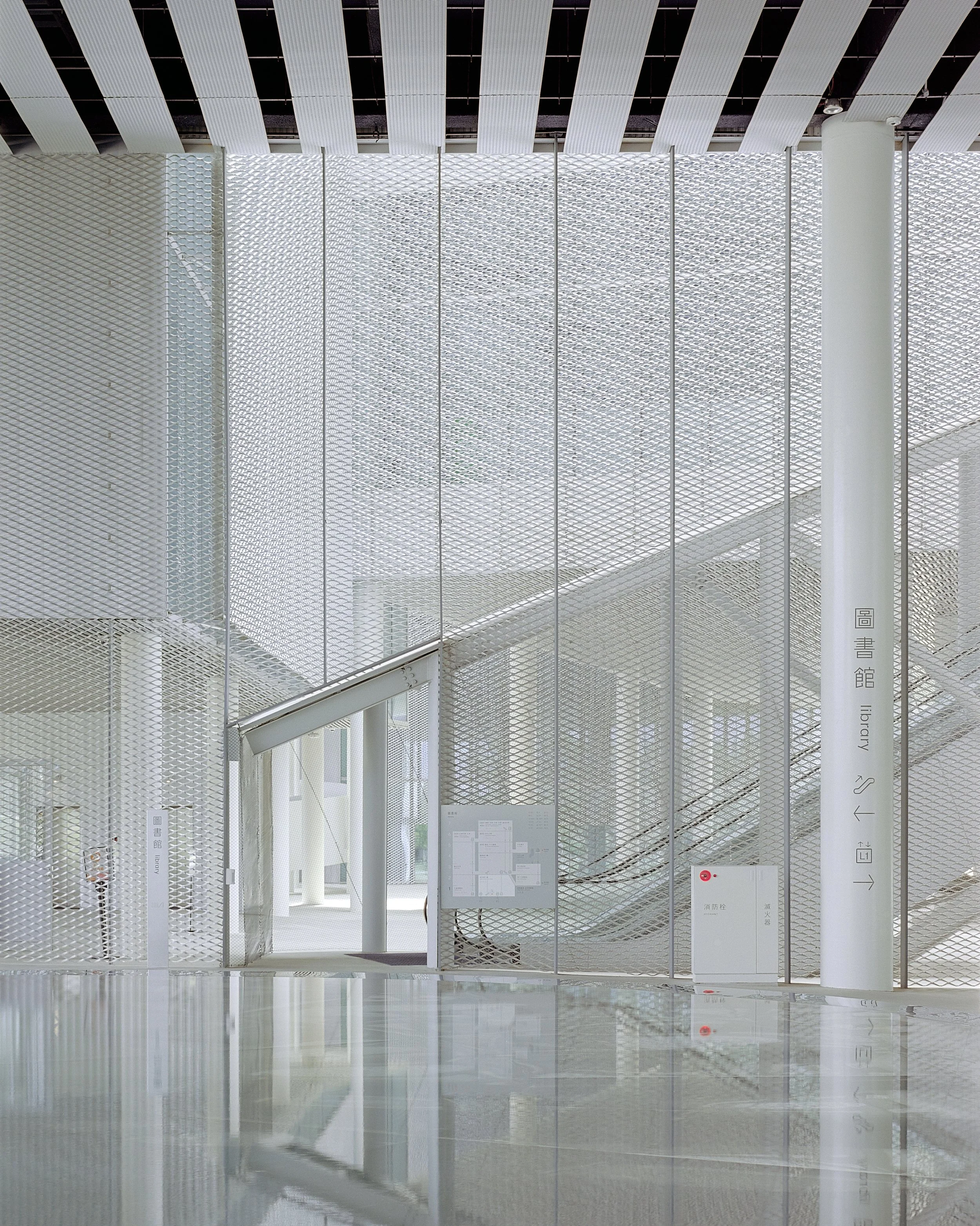
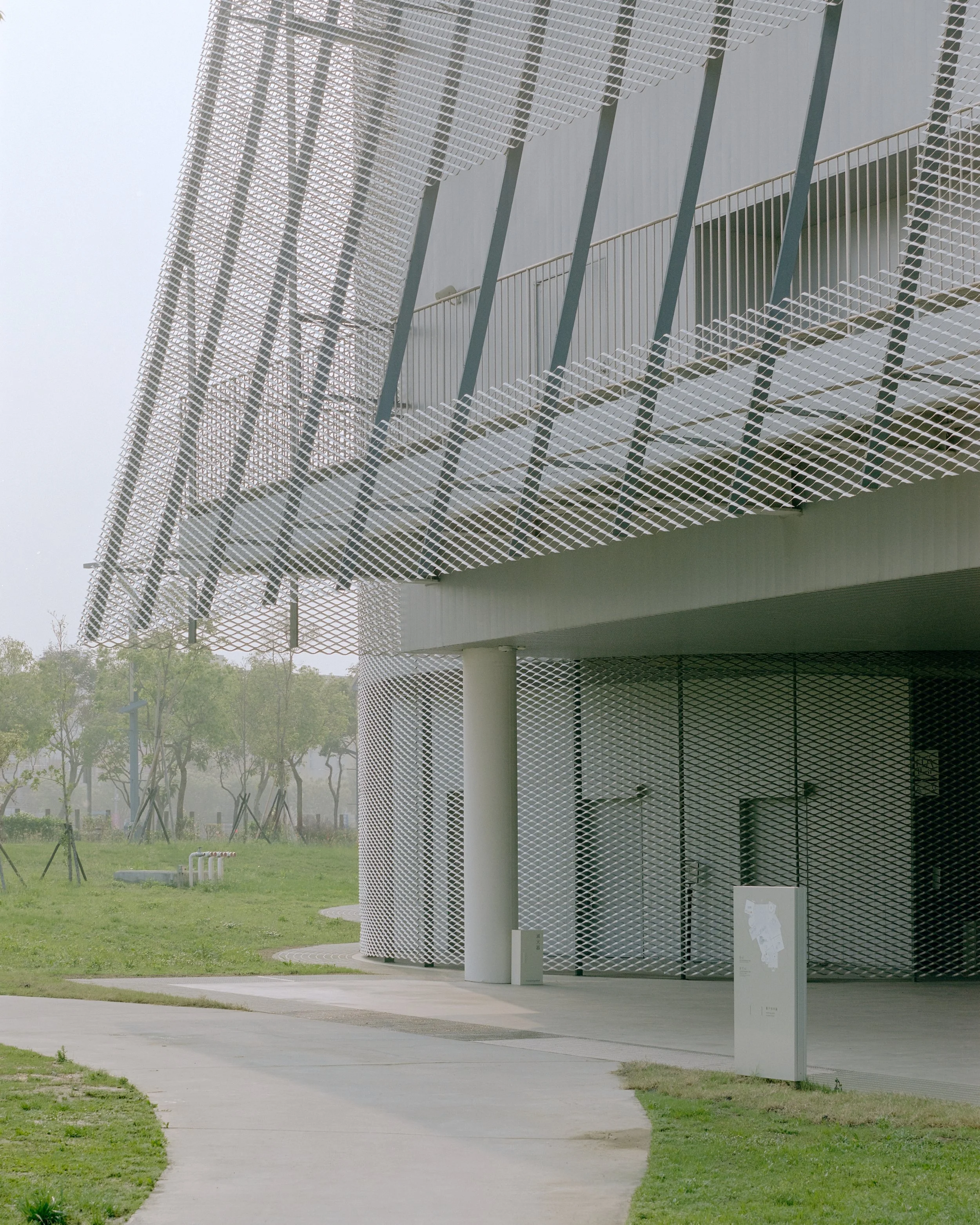
因此,綠美圖尋路系統的挑戰,在於如何從非單一且固定的路徑之間,協助人們 理解不同空間之間的關係。除了清晰而直接的方向指引與空間識別,扮演在關鍵節點協助使用者前往目的地的角色之外,我們鼓勵人們在移動中逐漸形成方向 感,並建立一種「閱讀空間的方法」。
The wayfinding system helps visitors understand spatial relationships within a non-linear environment. Beyond guiding users at key decision points, it encourages a gradual sense of orientation and establishes a way of reading the building through movement.
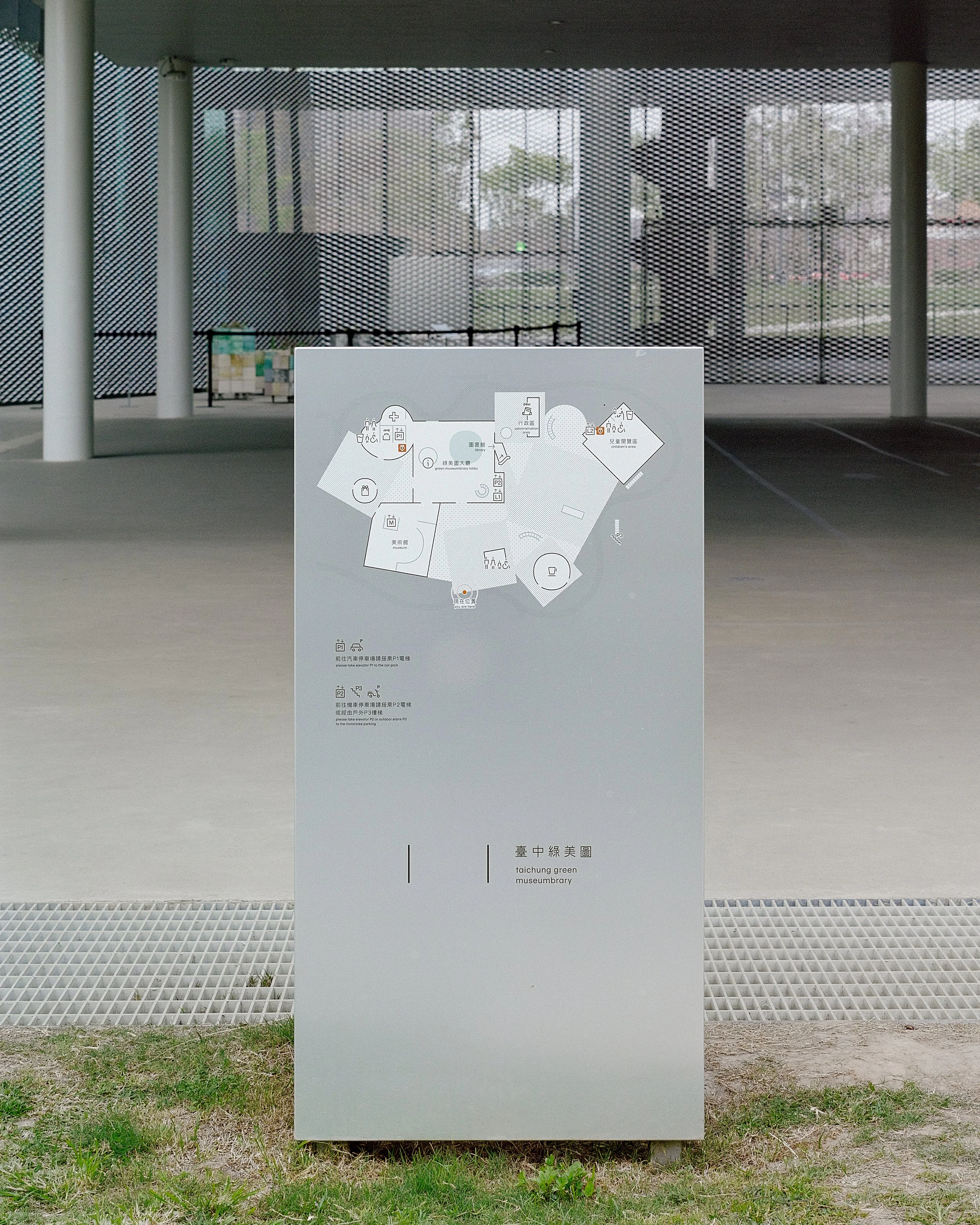
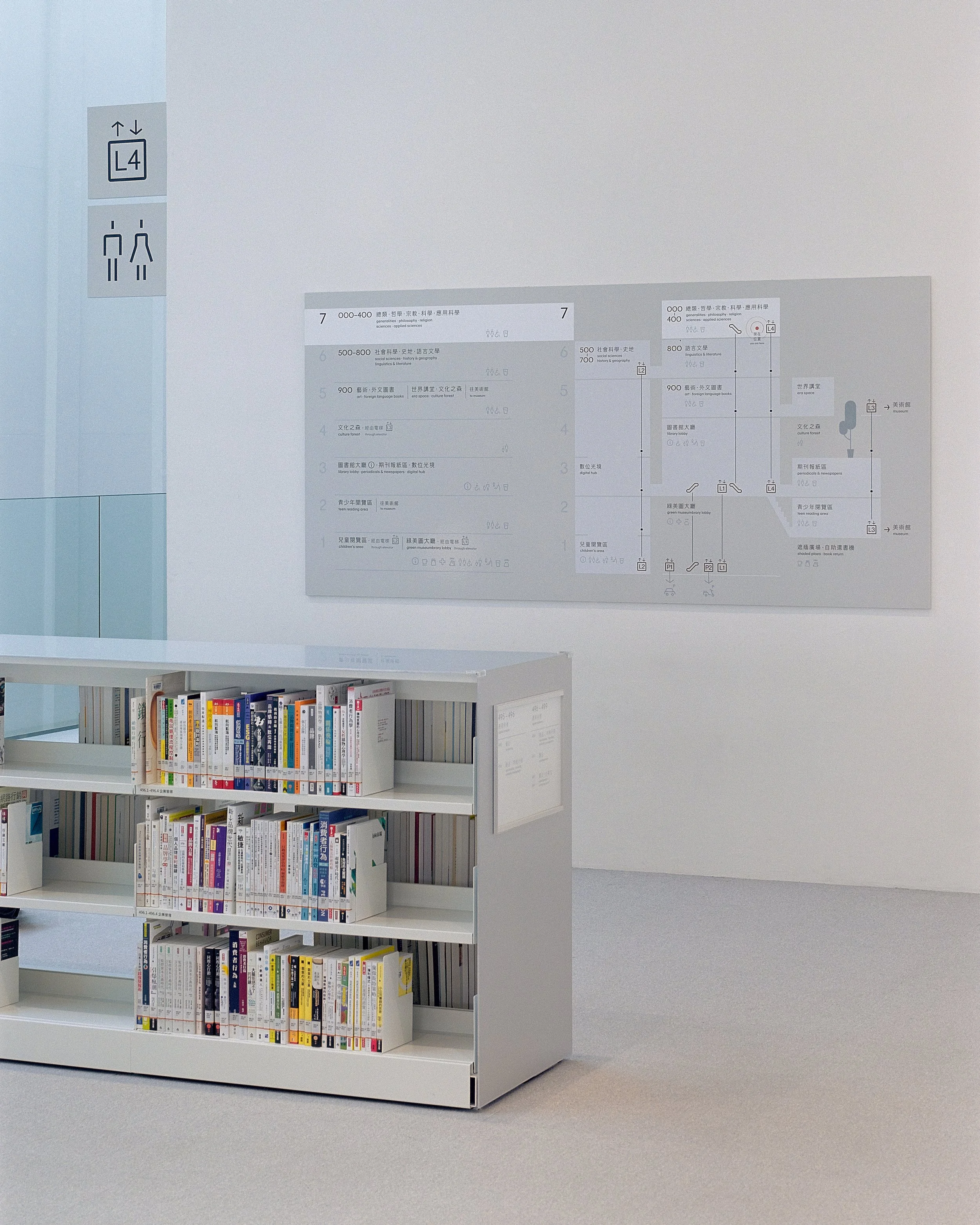
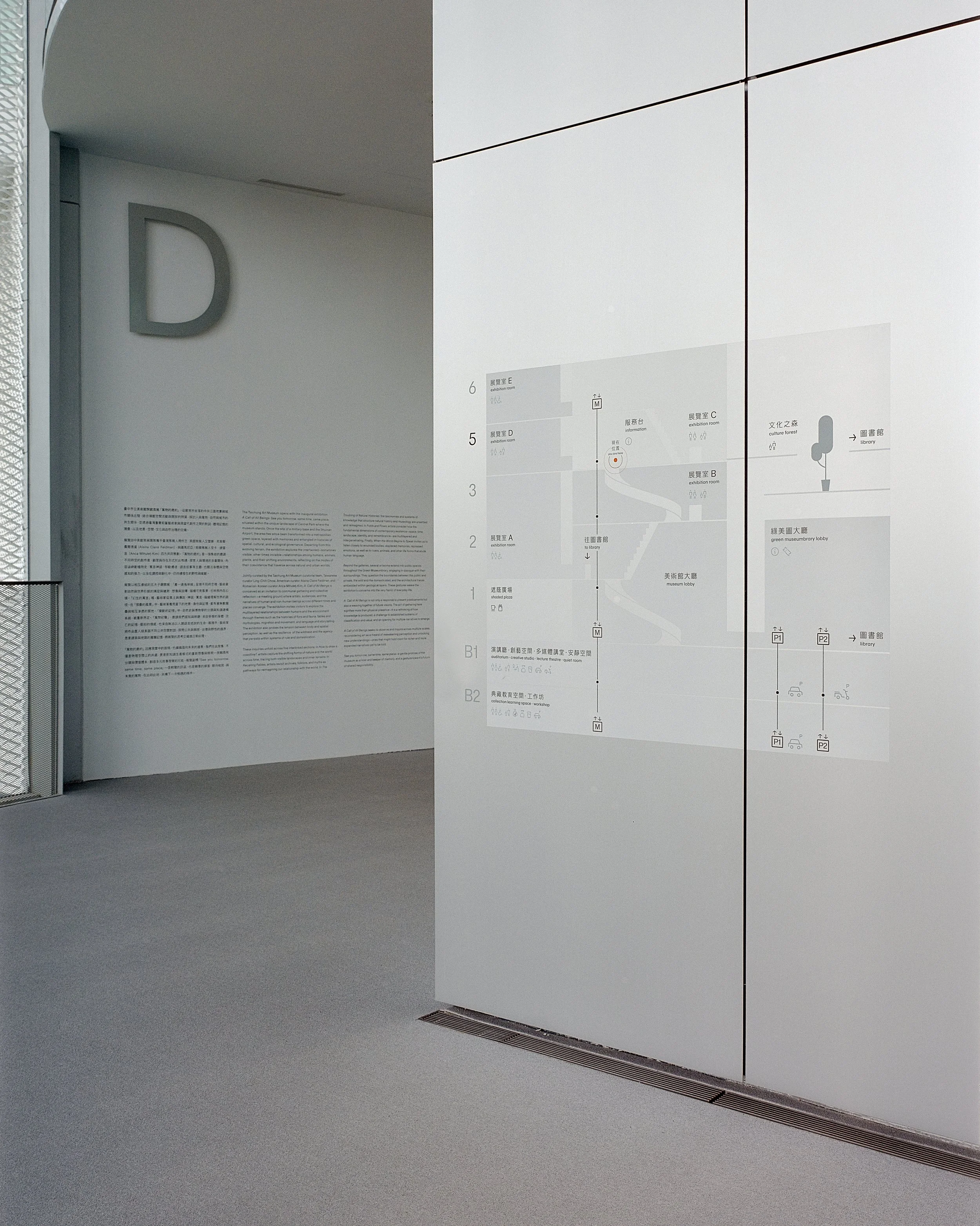
透過平面地圖,建立使用者與環境之間的相對位置,讓人在移動過程中辨識所在方位。
Plan maps help visitors understand their position within the building.
複雜的空間連結課題,尤其體現在垂直動線之中。
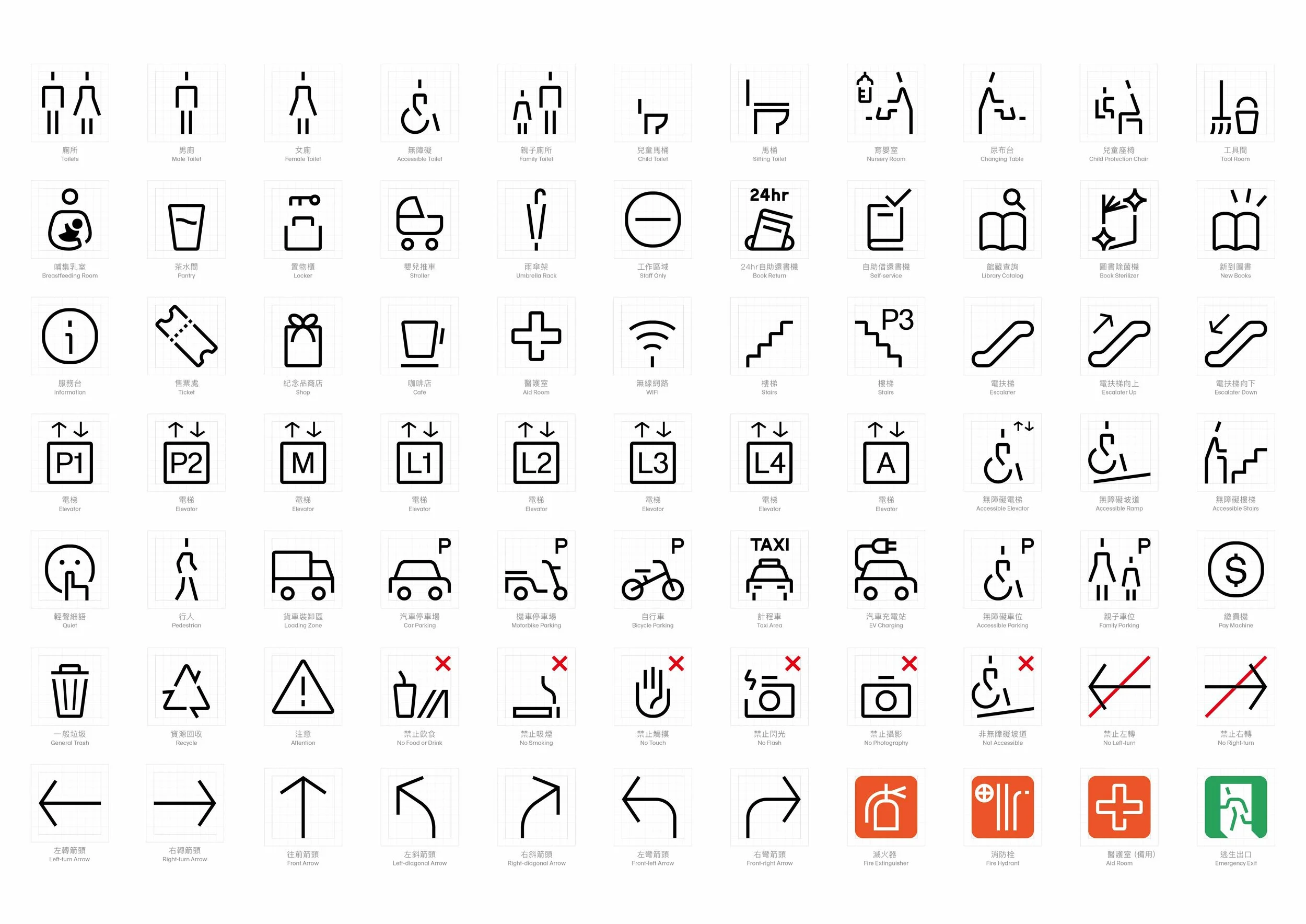
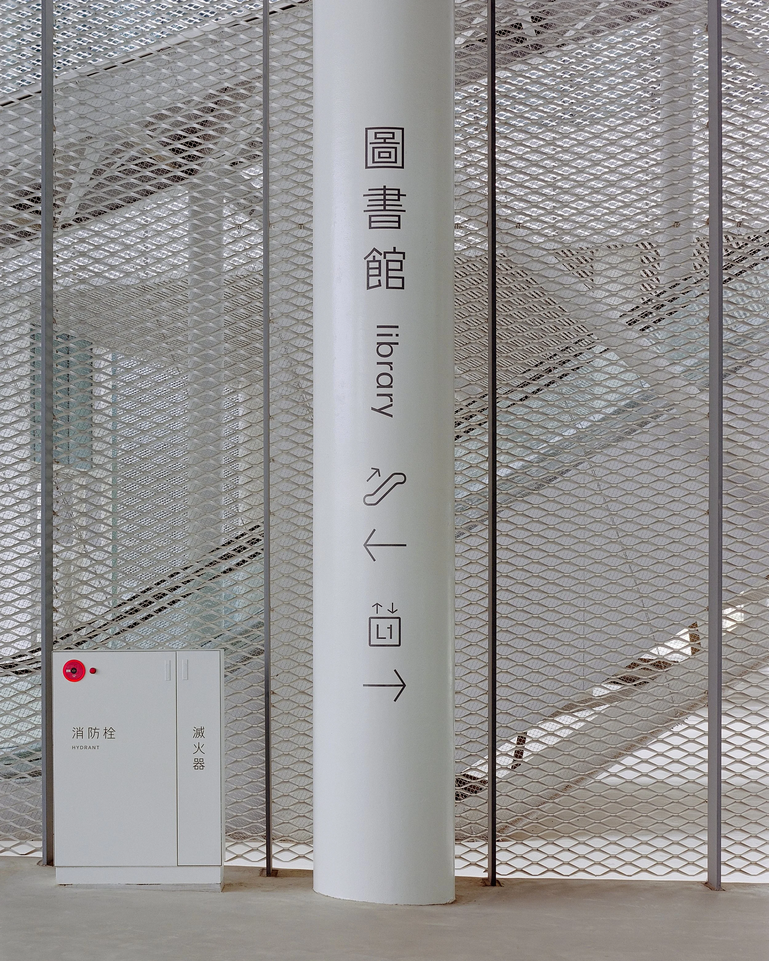
為此我們重新建立了整體垂直動線的命名與編號邏輯。美術館以 M 作為垂直系統識別;圖書館則依據不同動線區分為 L1 至 L4;地下空間則以 P1、P2 及 P3 分別對應不同停車與地下動線系統。
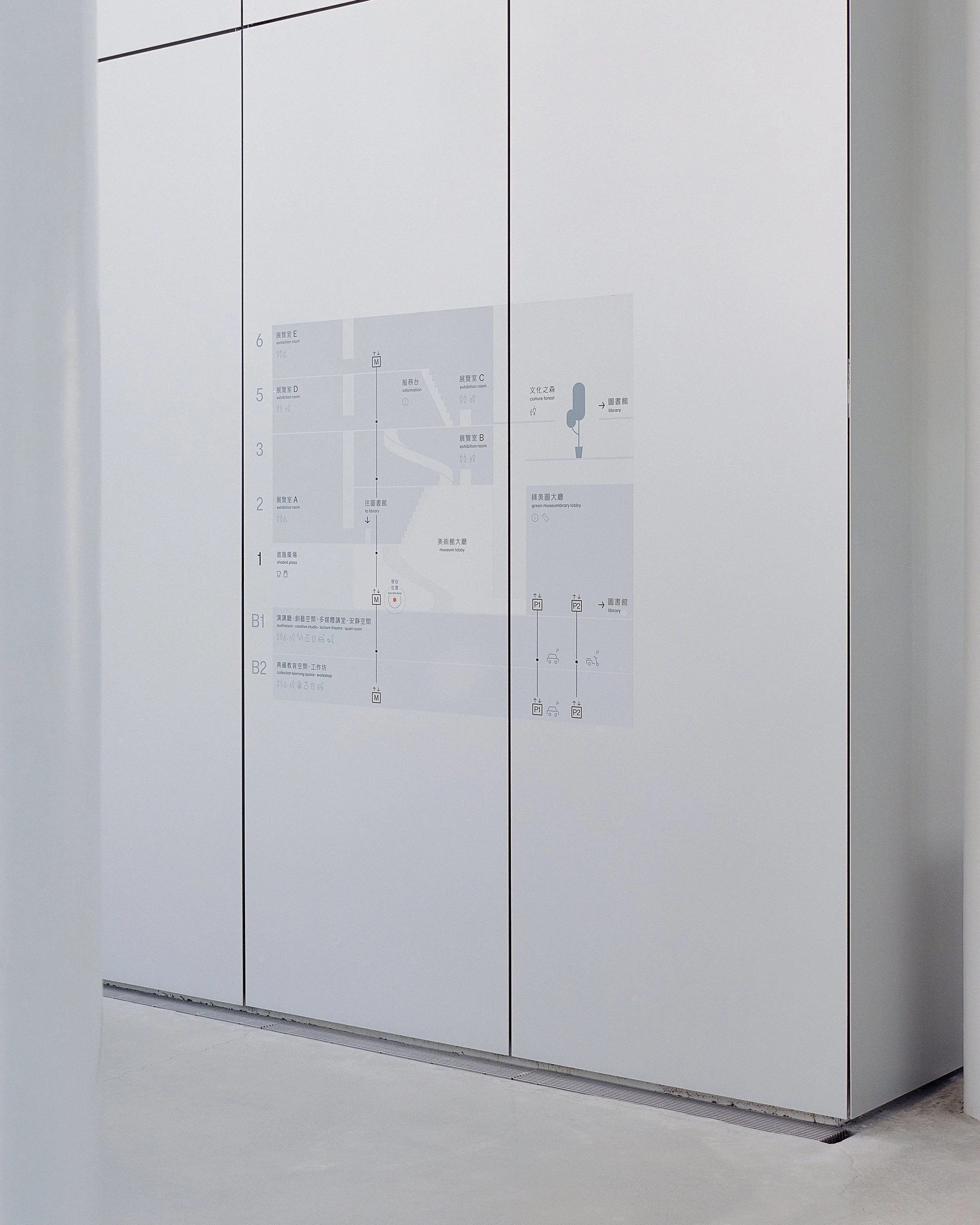
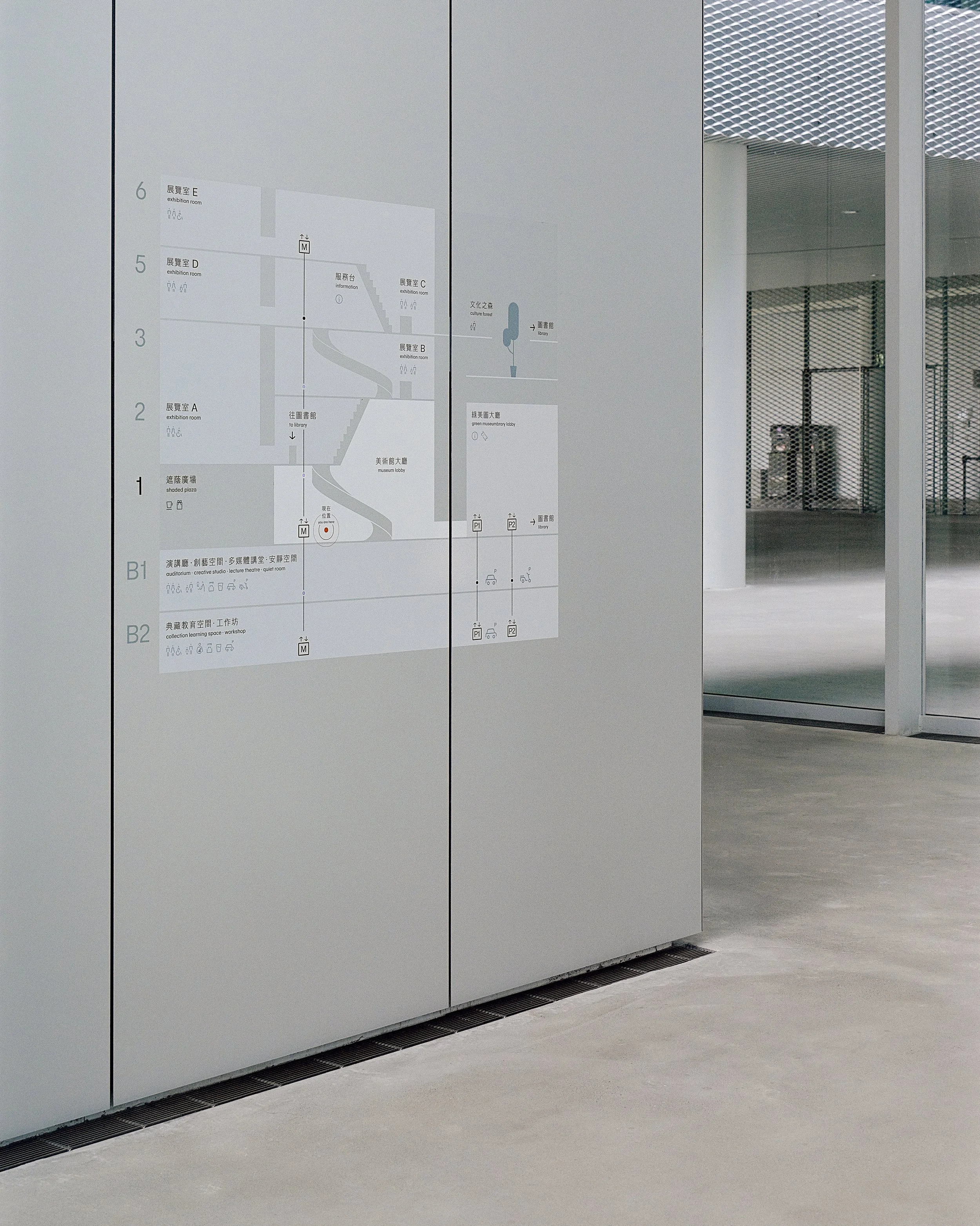
這套垂直系統也被整合進垂直地圖與空間識別之中,其中垂直地圖能以更直覺的方式,簡化樓層、區域與動線之間的關係。而編碼系統能依據不同的空間尺度,轉化為持續出現在空間中的電梯符號與方向資訊,協助人們逐漸建立對建築垂直結構的理解。
The complexity of these spatial connections is most evident in the building’s vertical circulation.
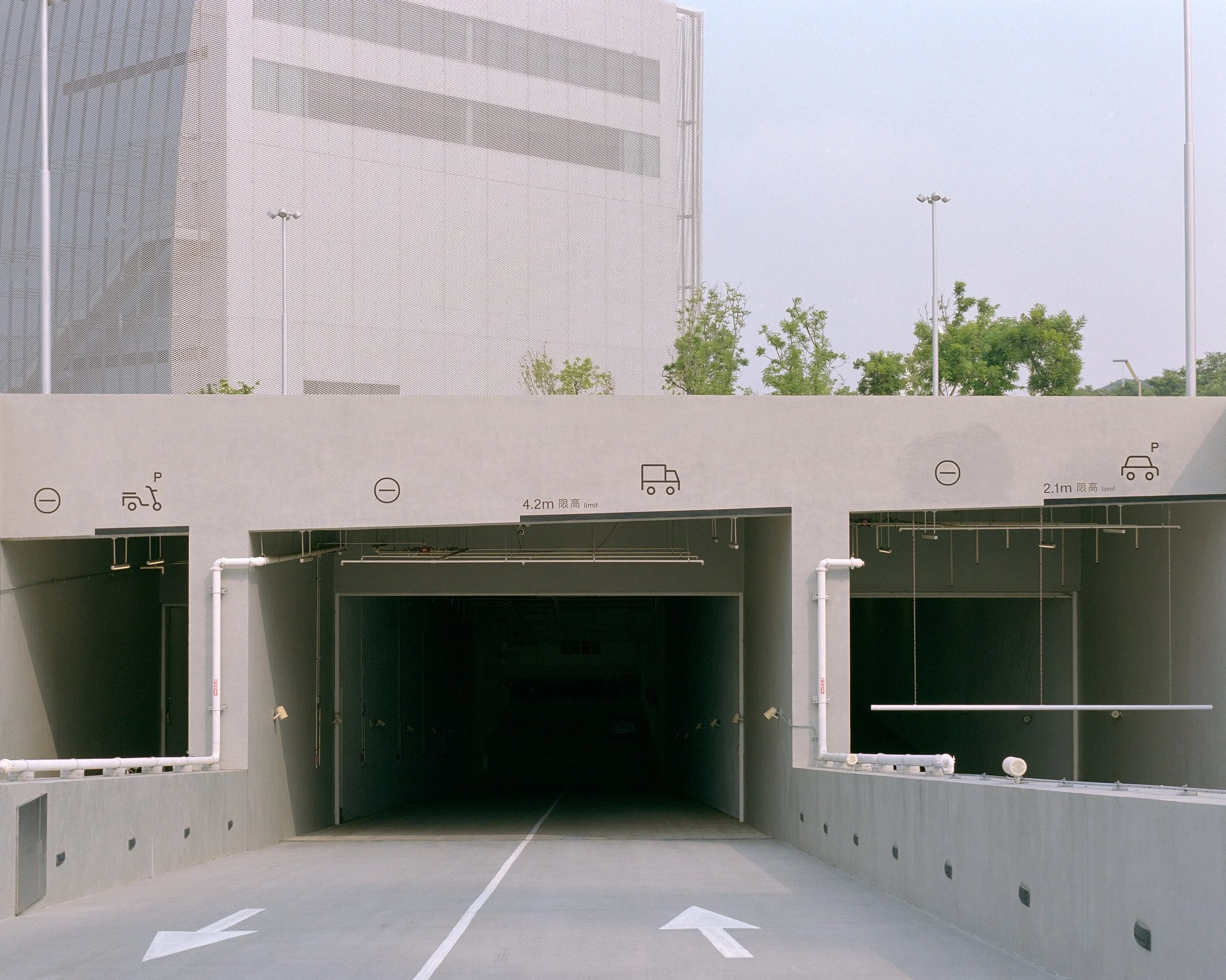
To address this complexity, a new naming system was developed for the building’s vertical circulation. Museum routes are identified by M, library routes by L1–L4, and underground routes by P1–P3, corresponding to different parking and subterranean circulation systems.
Integrated into vertical maps, destination identification, and directional signage, the system also appears throughout the building as a consistent set of elevator symbols and navigation cues, gradually helping users understand its vertical structure.
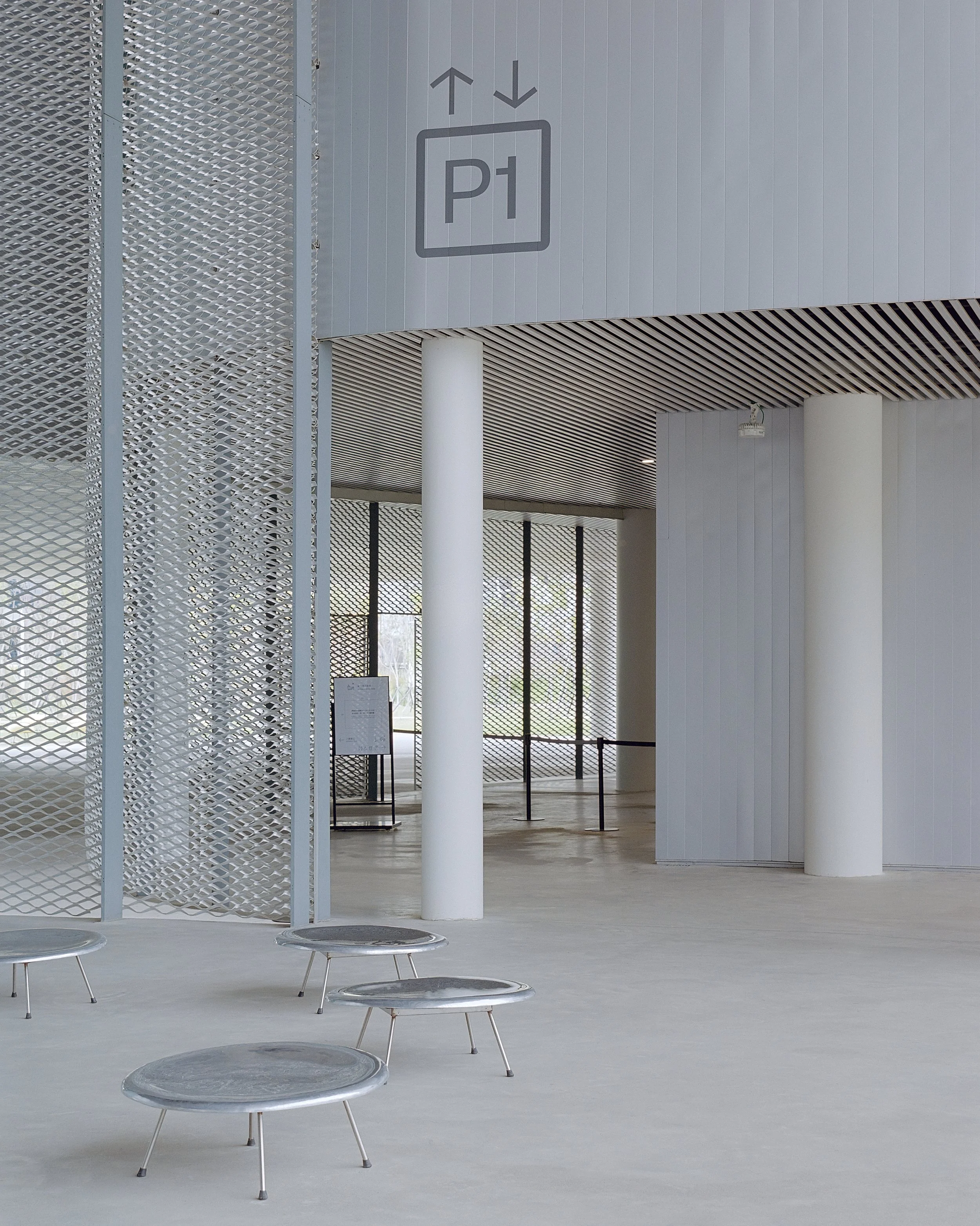
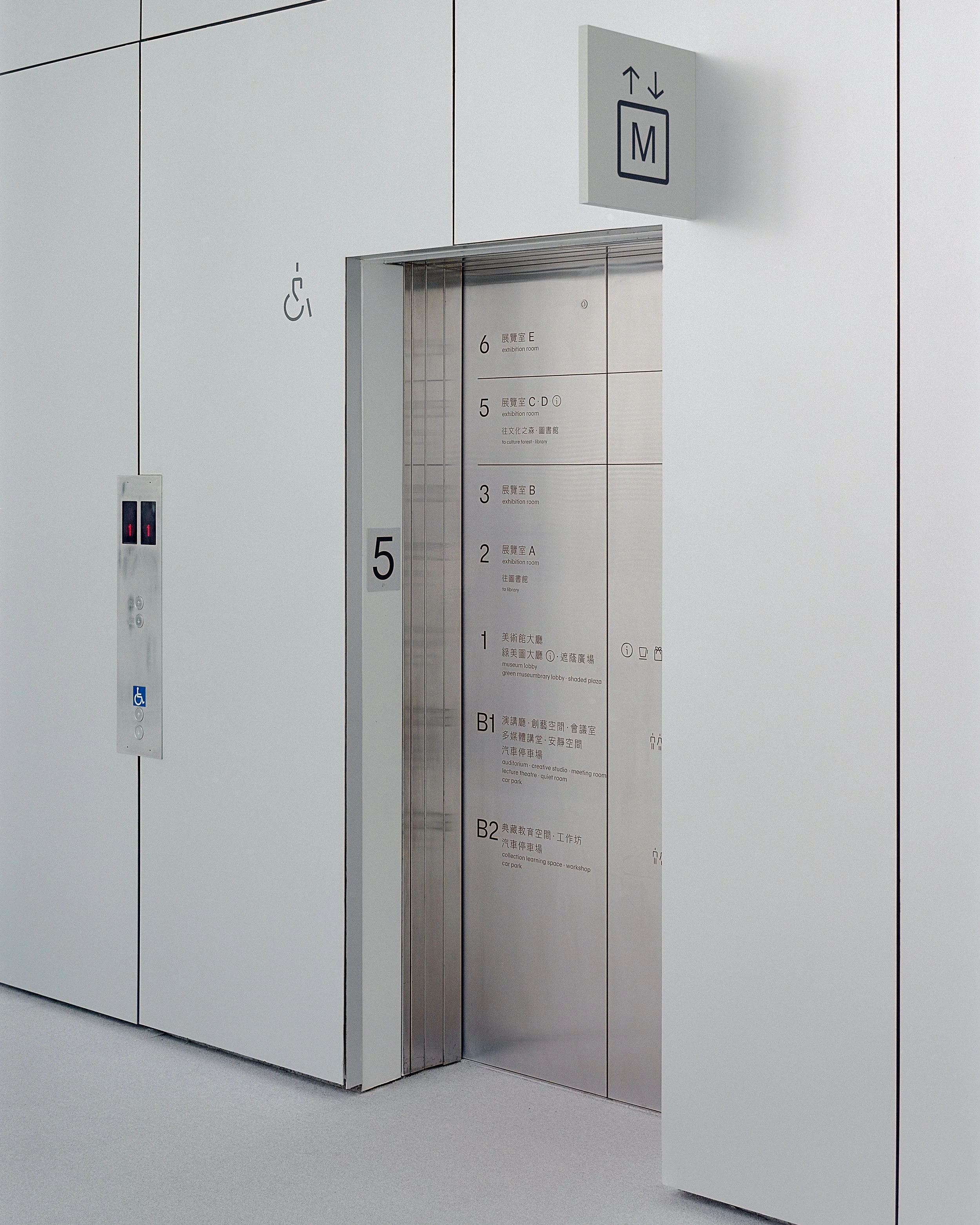
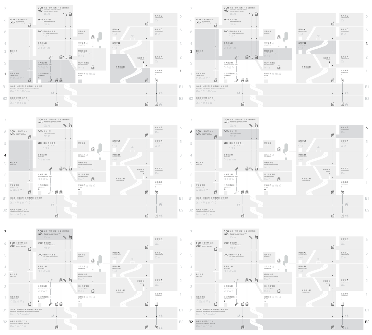
vertical maps intuitively clarify the relationships between floors, zones, and circulation routes.
垂直地圖以更直覺的方式,簡化樓層、區域與動線之間的關係。
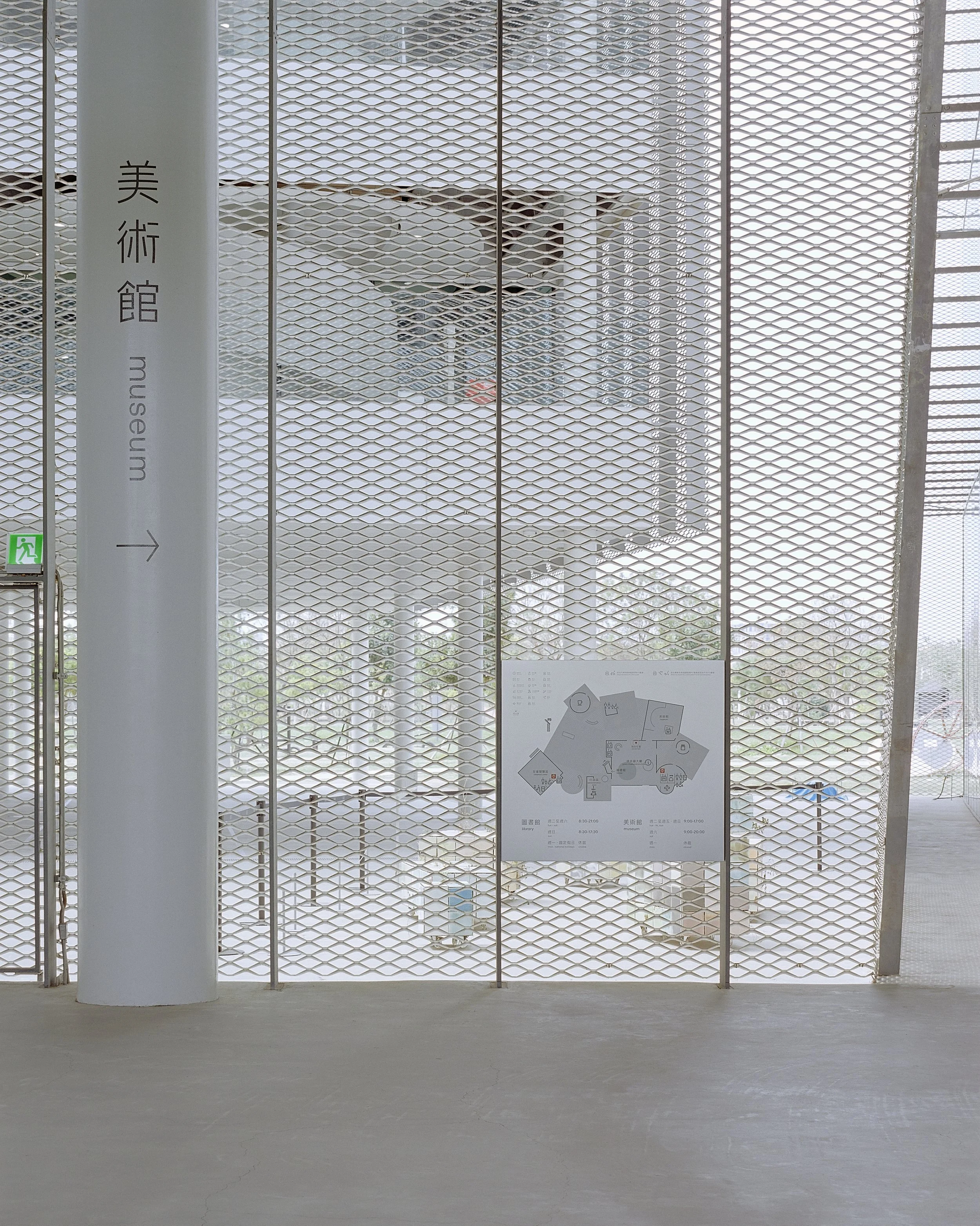
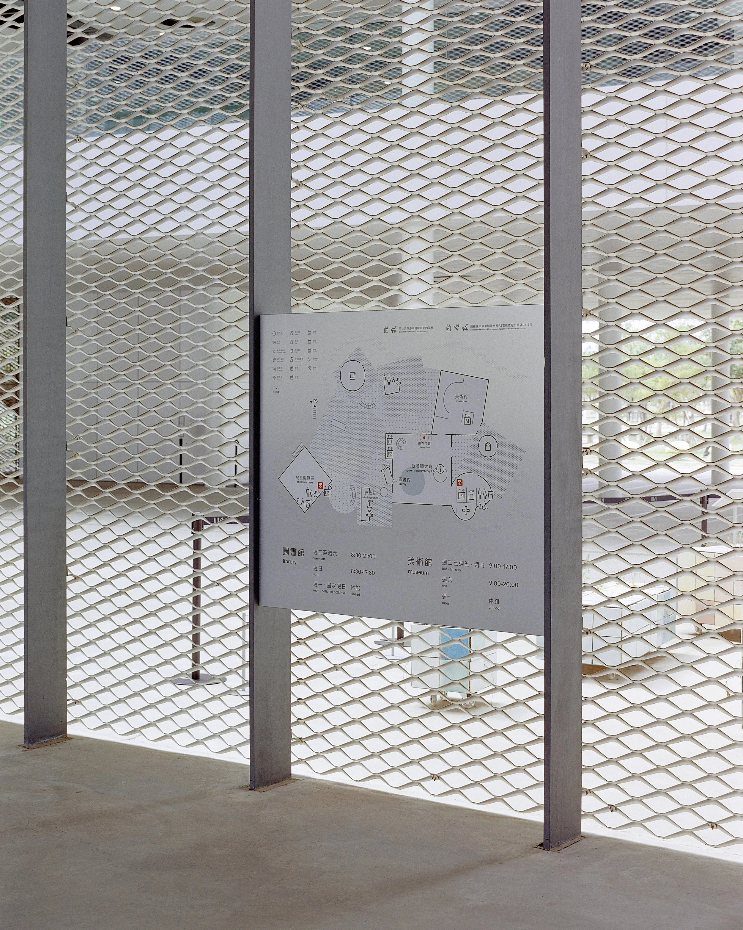
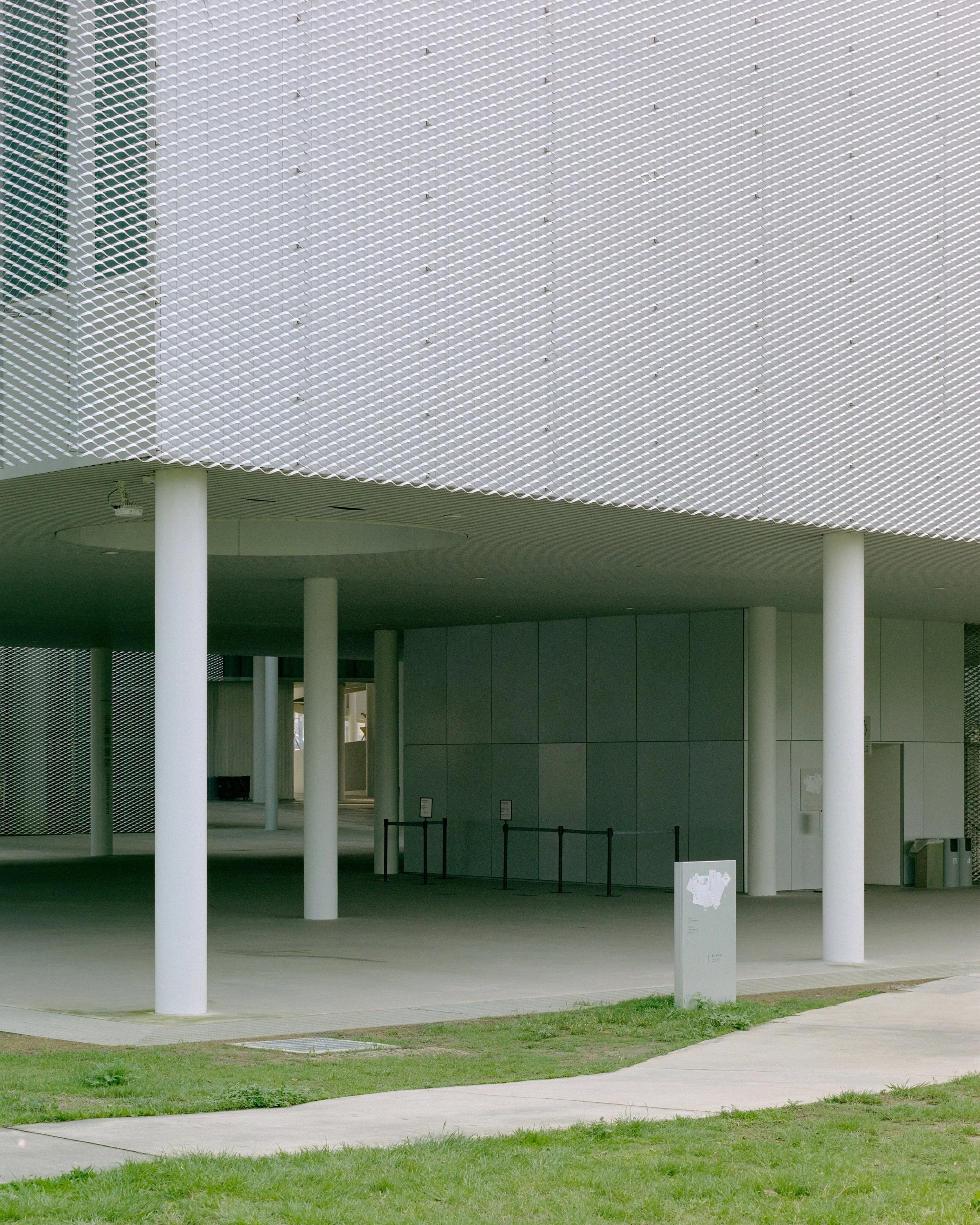
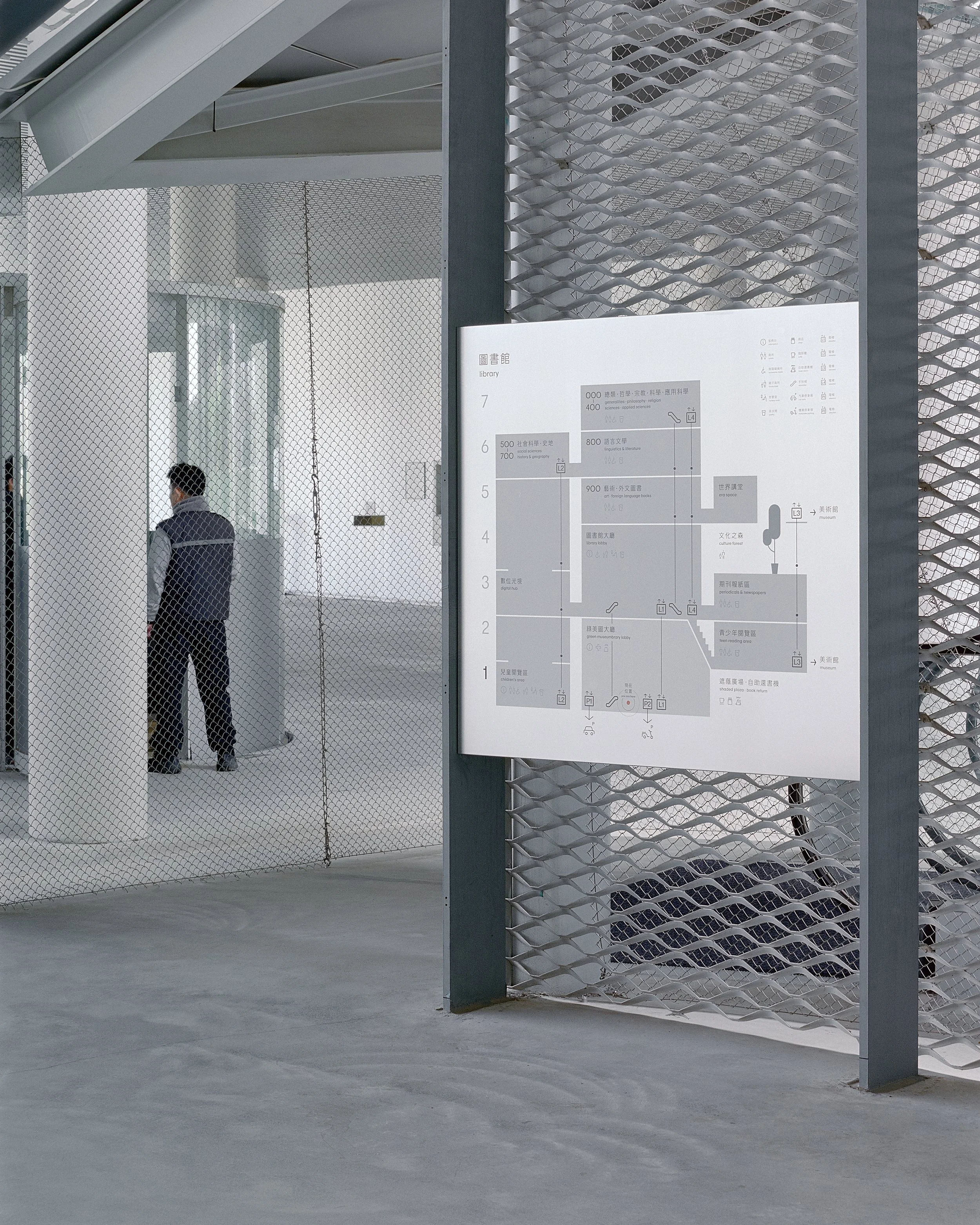
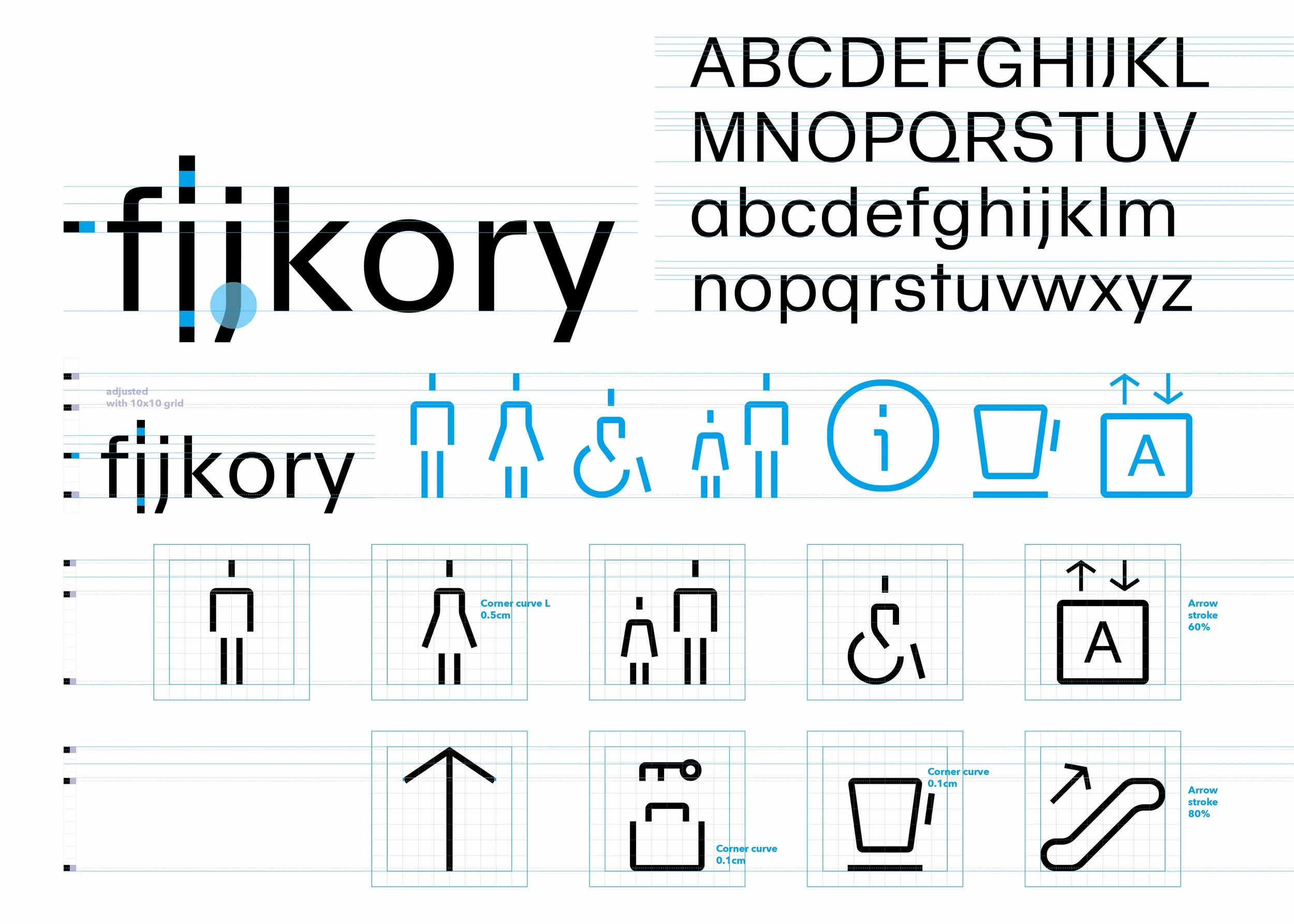
如同許多大型公共建築一樣,臺中綠美圖的品牌識別與尋路系統,分別由不同的設計團隊負責。而無論是品牌或尋路系統,在面對各自課題的同時,能共同回應並延伸建築本身的空間性格,始終是最核心的原則。
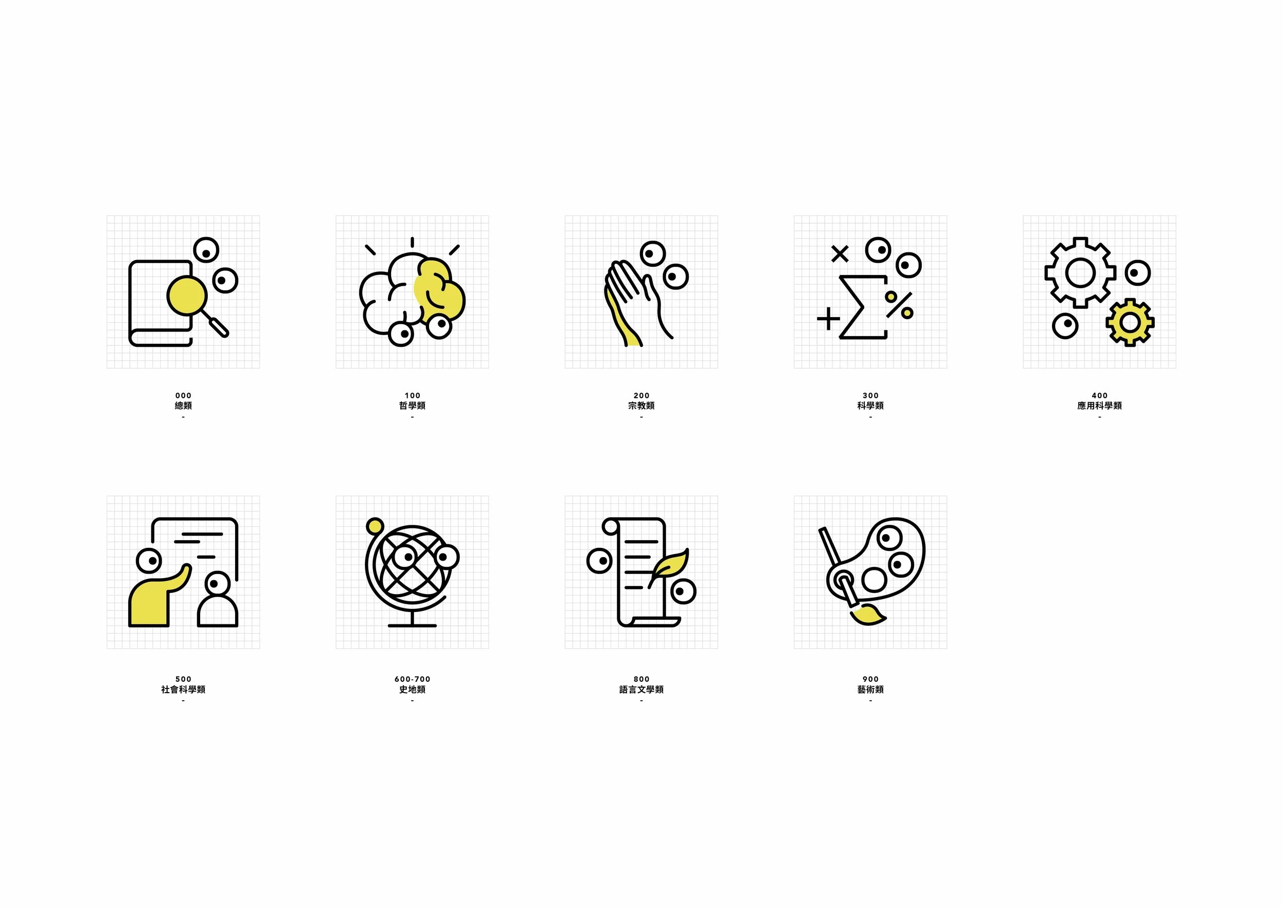
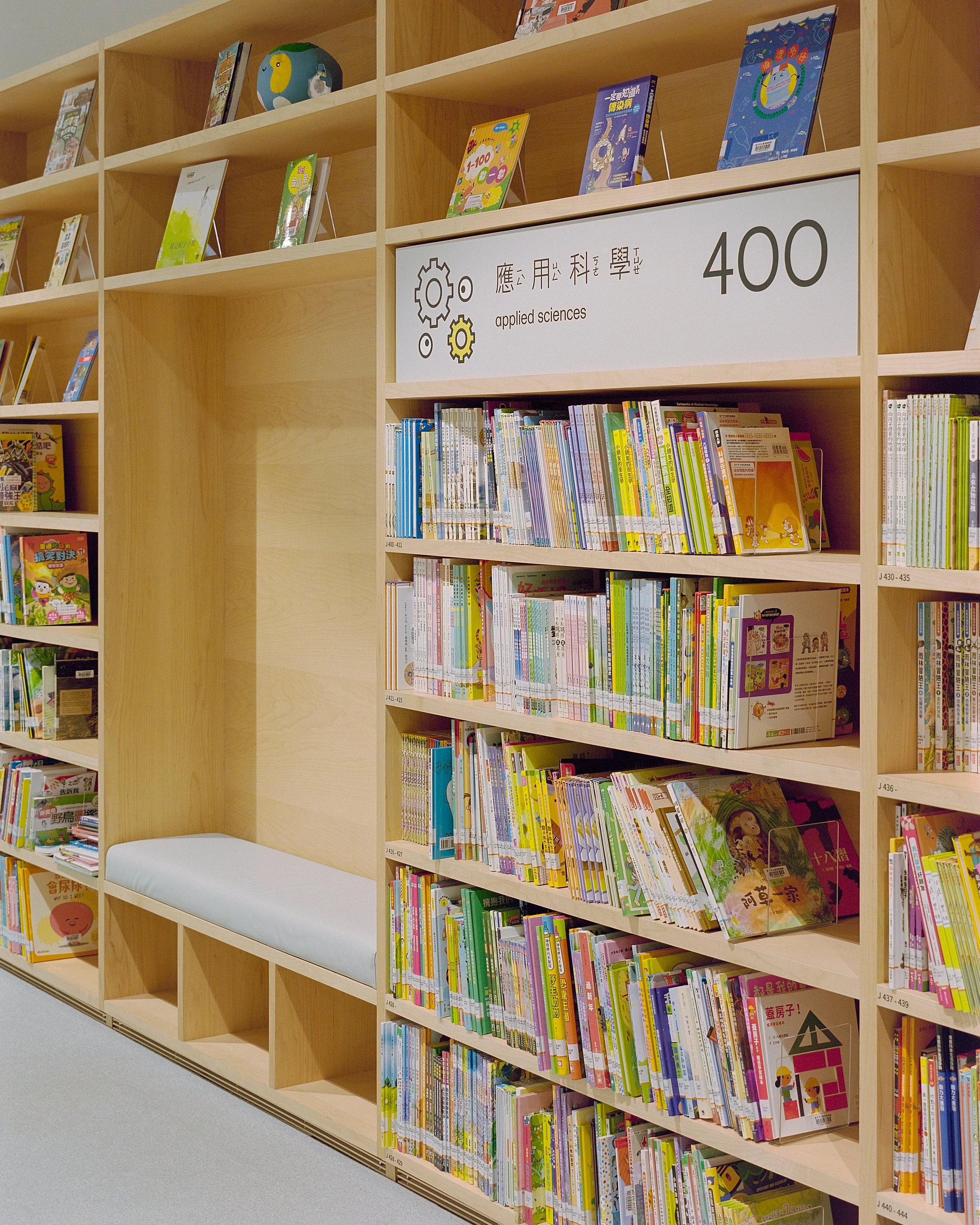
在延續既有識別特徵的基礎上,我們重新整理了圖標與各種視覺元素的幾何比例、筆畫細節及架構,並因應空間引導的整體策略與相關需求,新增部分視覺元素,使整體視覺語言能更完整地應用於整套尋路系統中。
Developed by separate teams, the brand identity and wayfinding system share a common goal: to extend the spatial character of the architecture.
Building on the existing identity, pictograms and visual elements were refined in proportion, stroke, and structure. New elements were also introduced to support the wayfinding strategy, creating a more cohesive visual language across the system.
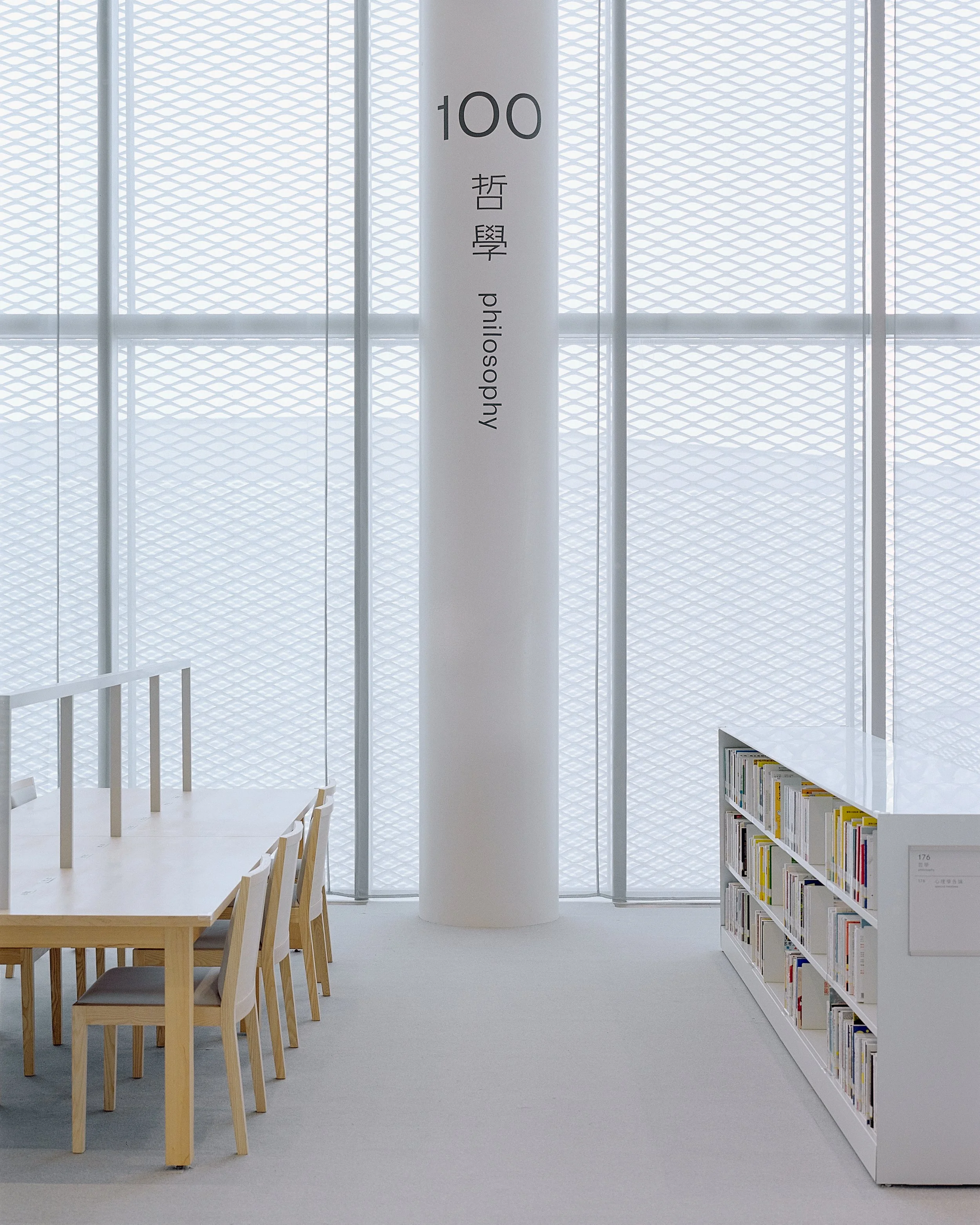
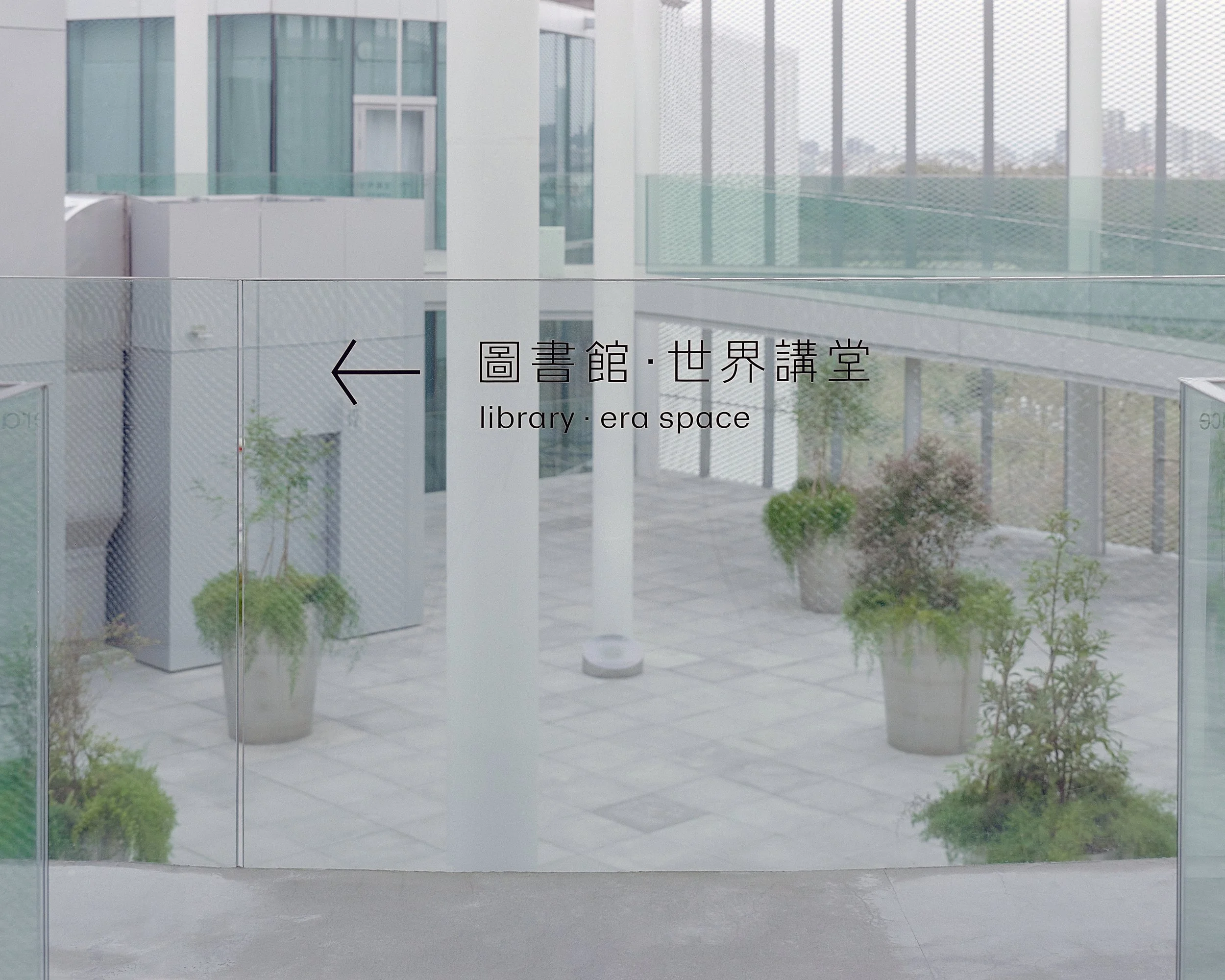
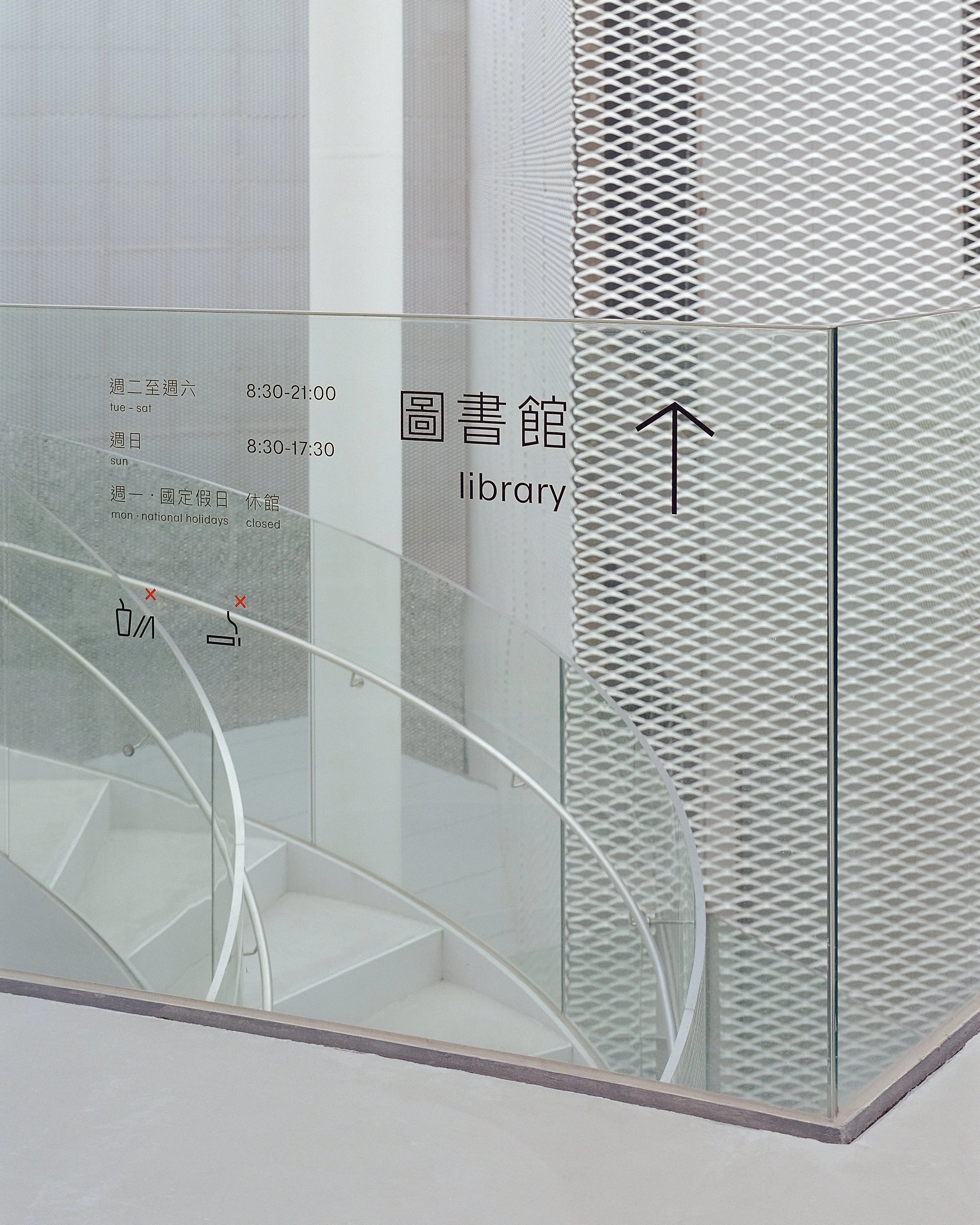
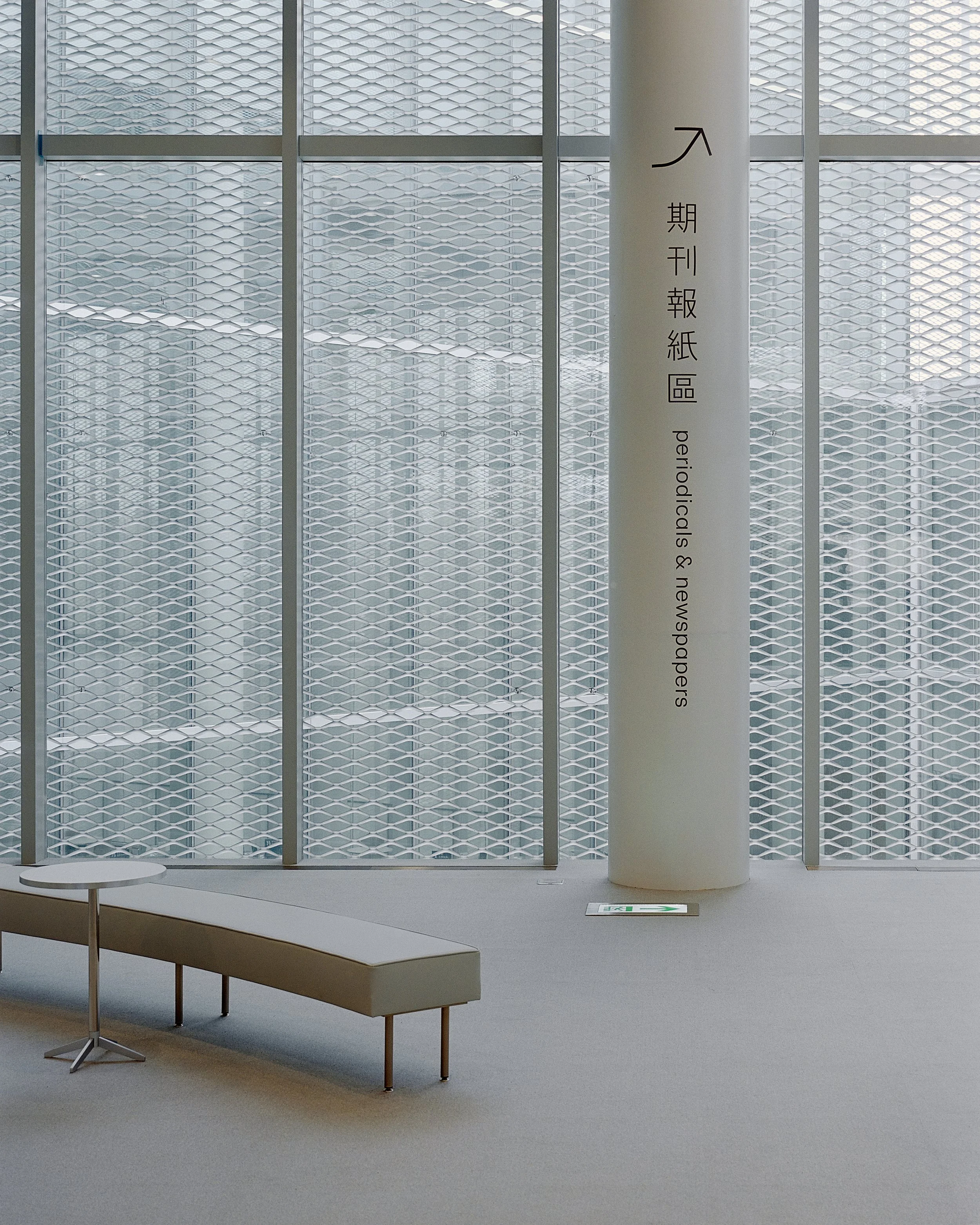
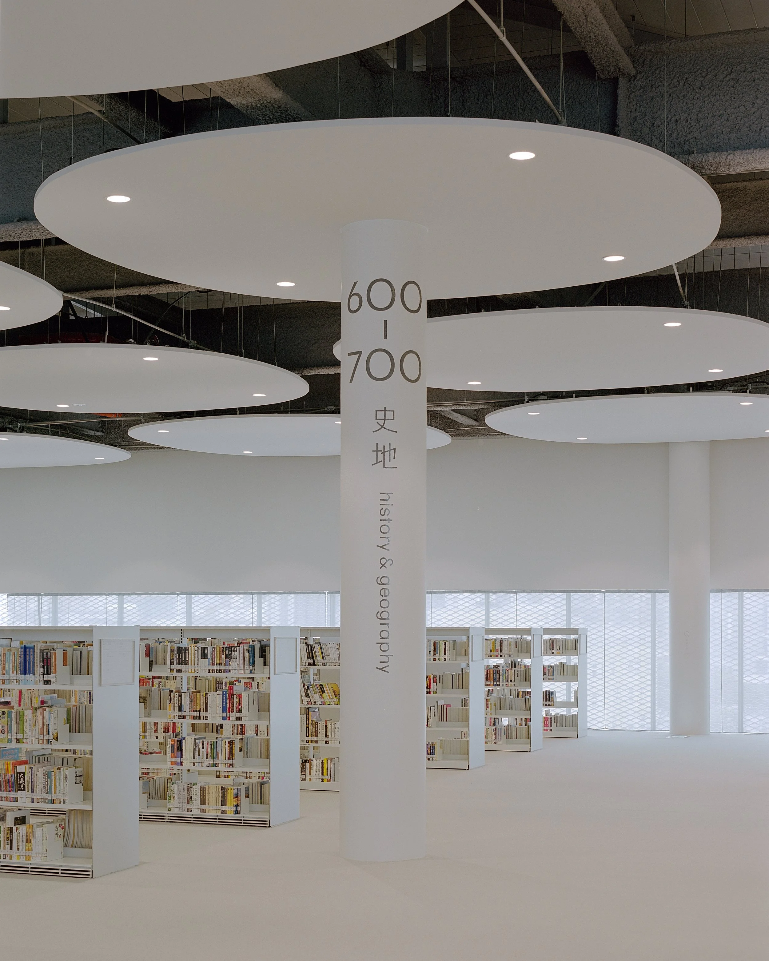
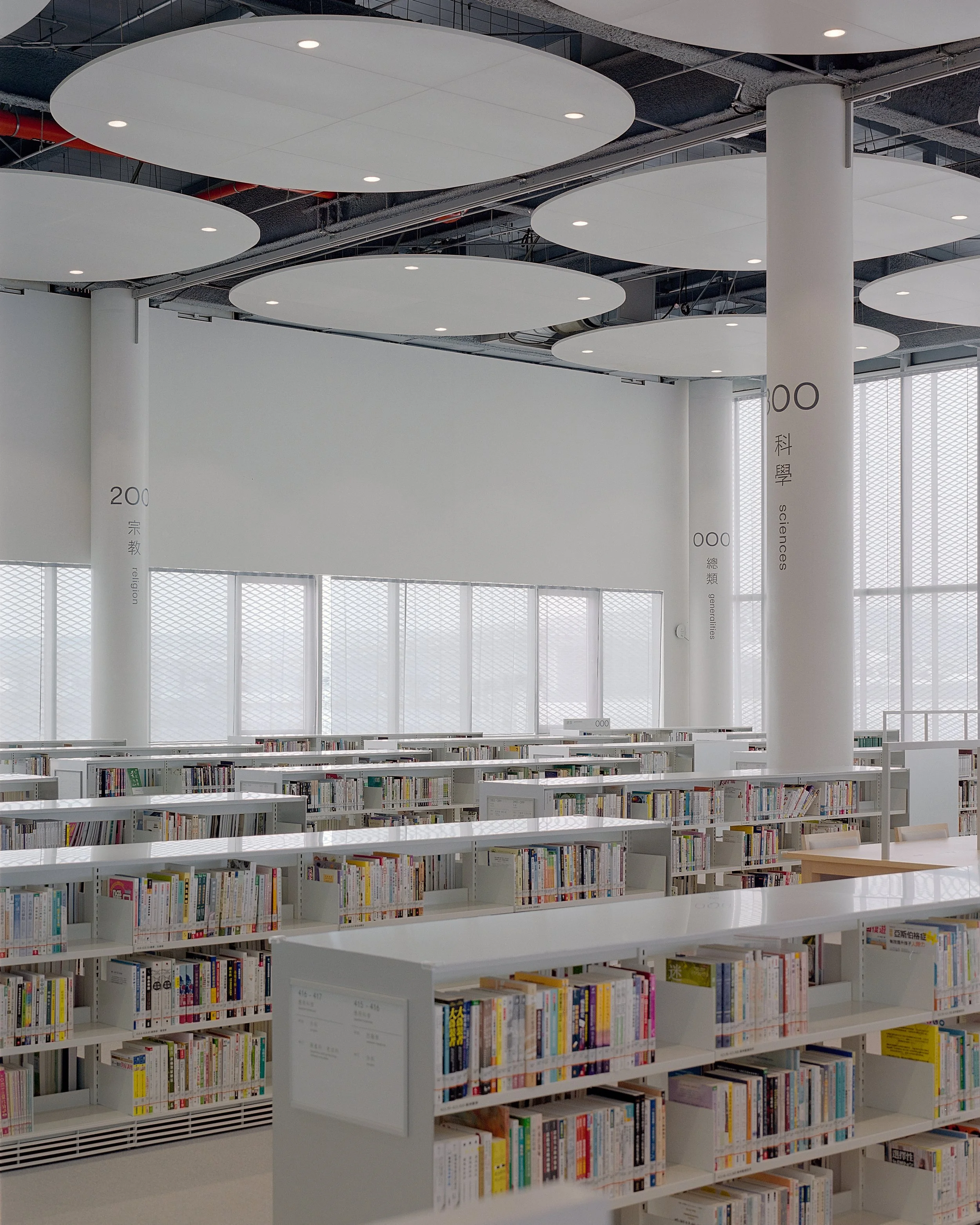
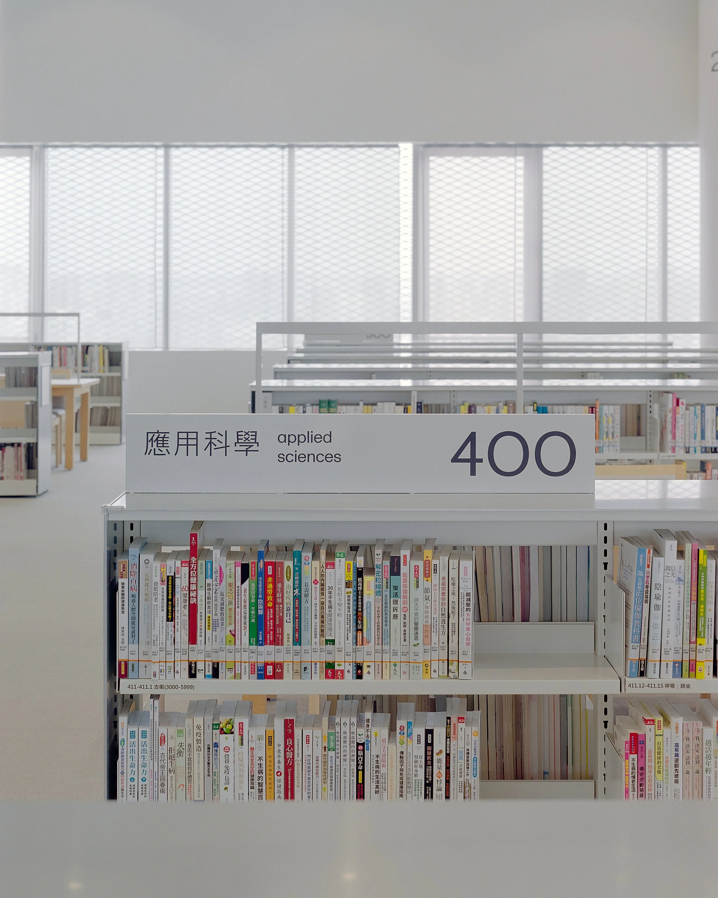
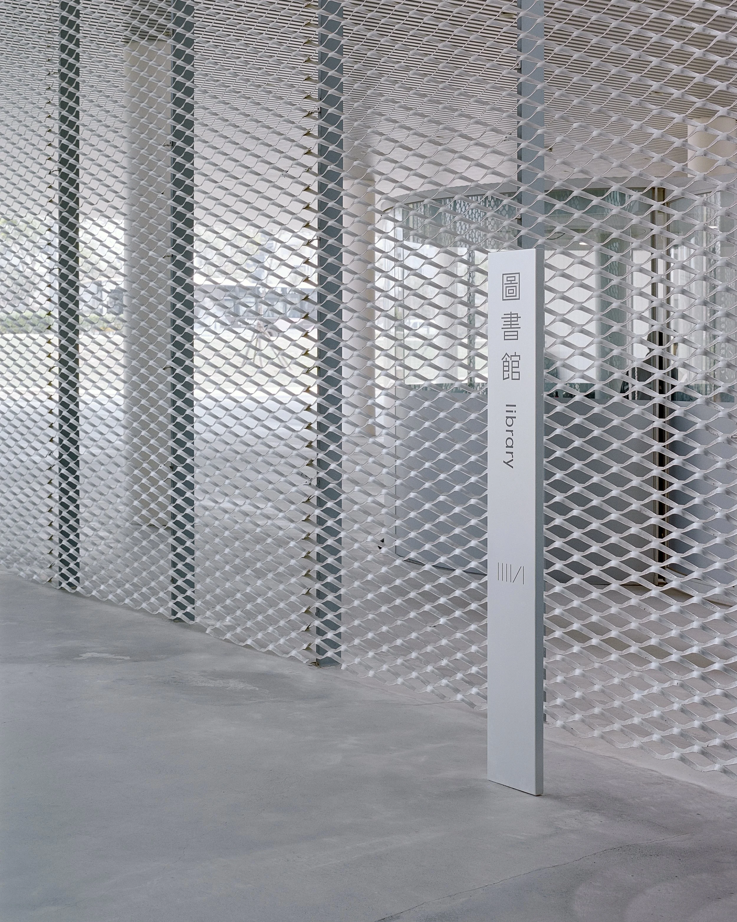
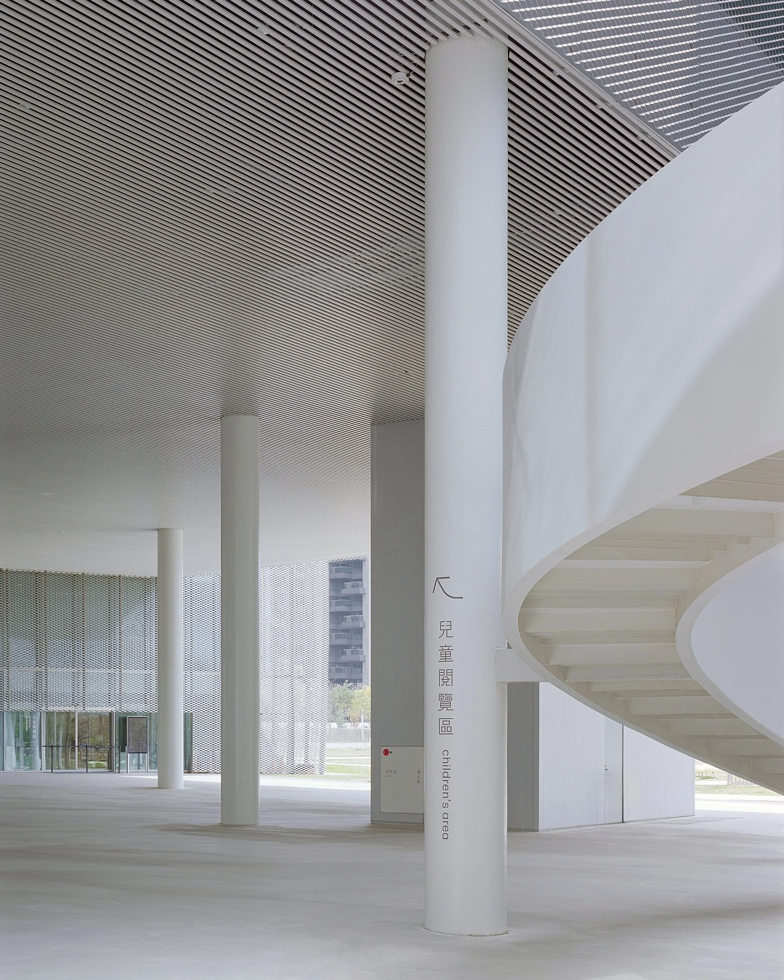
在思考標示類型與形式時,也嘗試讓資訊「自然地浮現」於建築空間之中,擺脫既定印象中標示面板的厚度與明確邊界感。並依據不同的空間尺度與閱讀距離,選擇相對應的資訊尺寸與呈現方式,使資訊在清楚可辨的同時,仍保有與空間之間的協調關係。
這樣的形式策略,恰好也讓品牌識別系統中客製字體的特質與細節,能更自然地展現於空間之中,使尋路系統成為整體建築經驗的一部分。
Information is designed to emerge naturally within the space, rather than through conventional sign panels. Scaled to different viewing distances and spatial contexts, it remains clear while maintaining a close relationship with the architecture.
The approach also allows the custom typeface to be expressed more naturally, making wayfinding an integral part of the architectural experience.
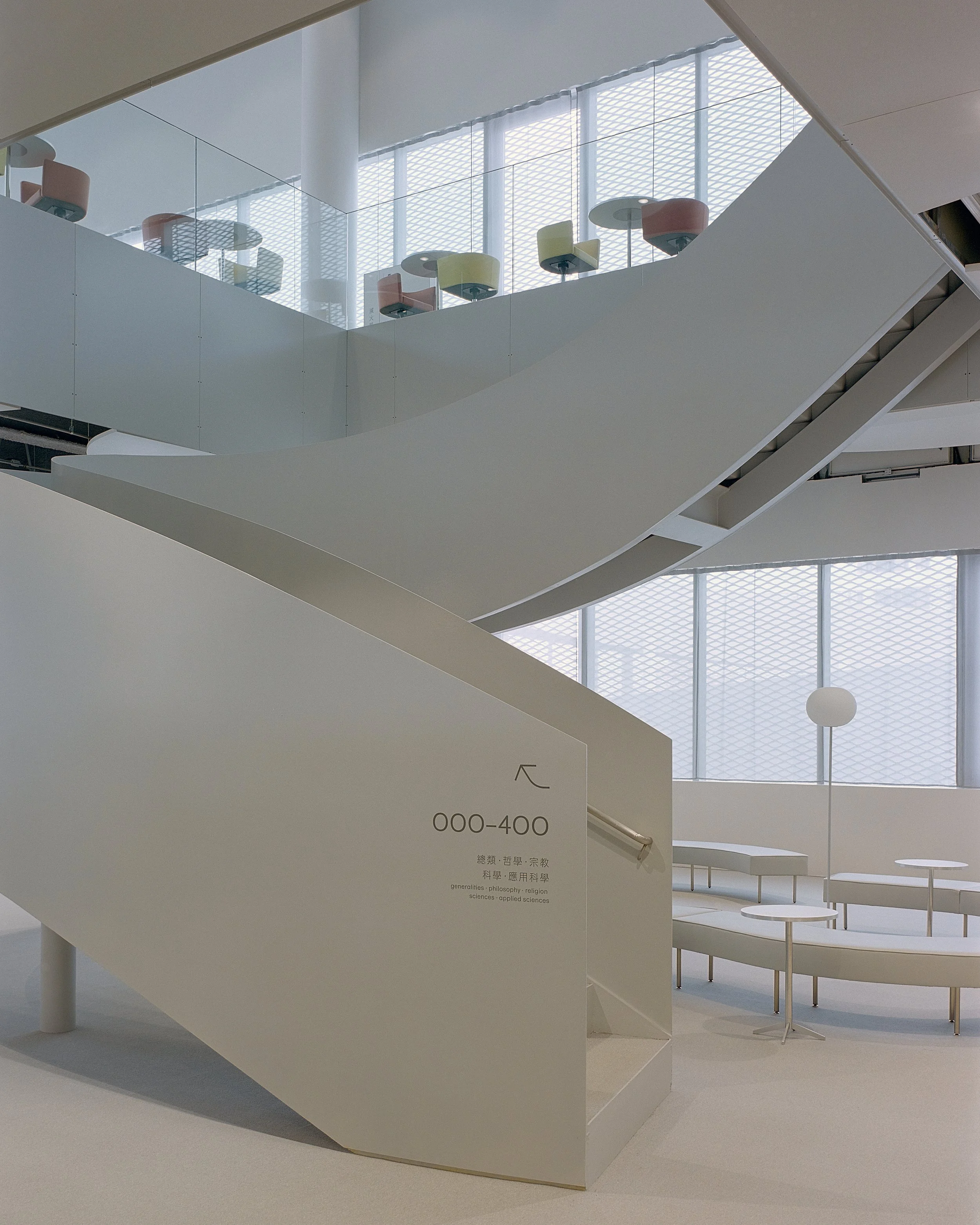
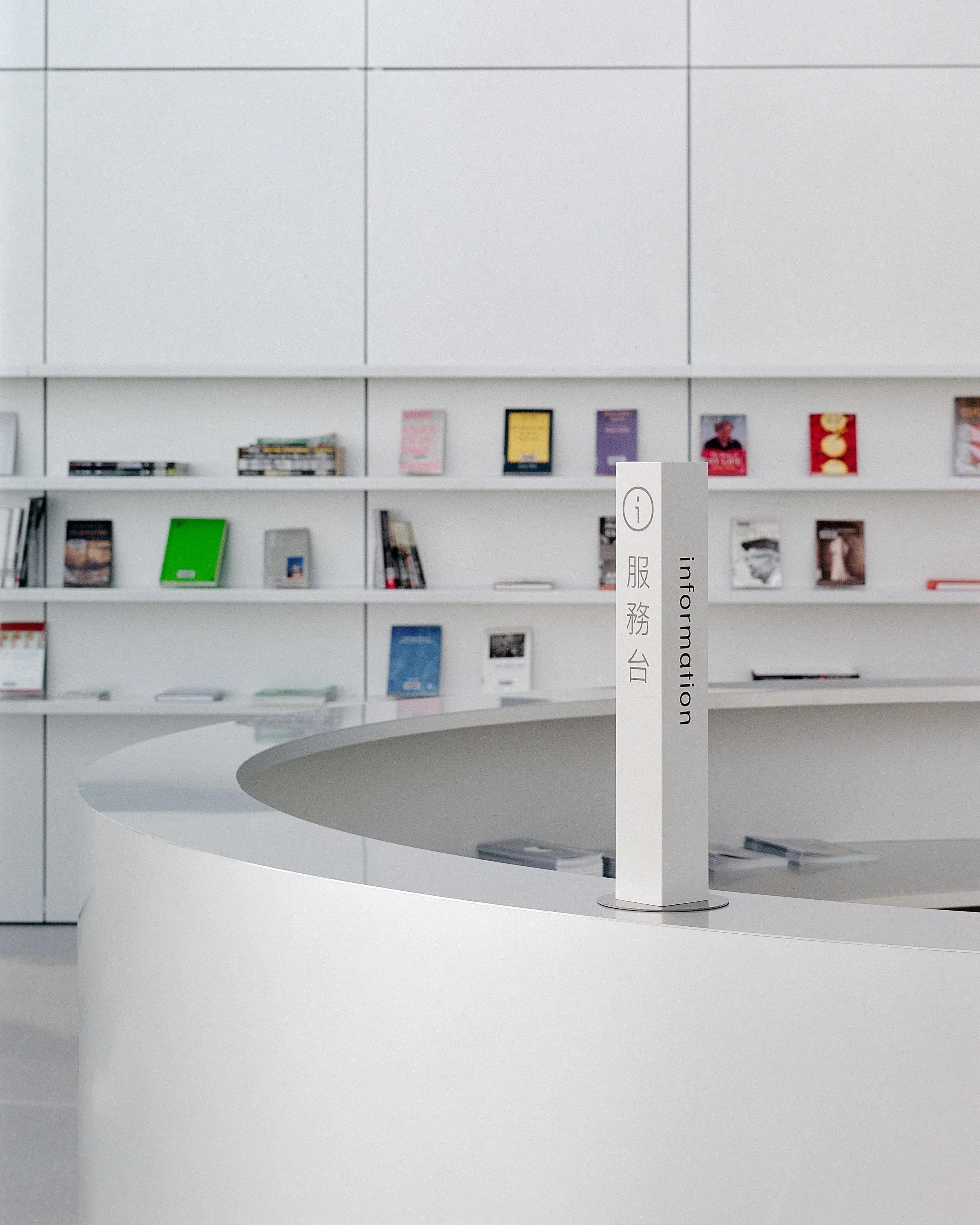
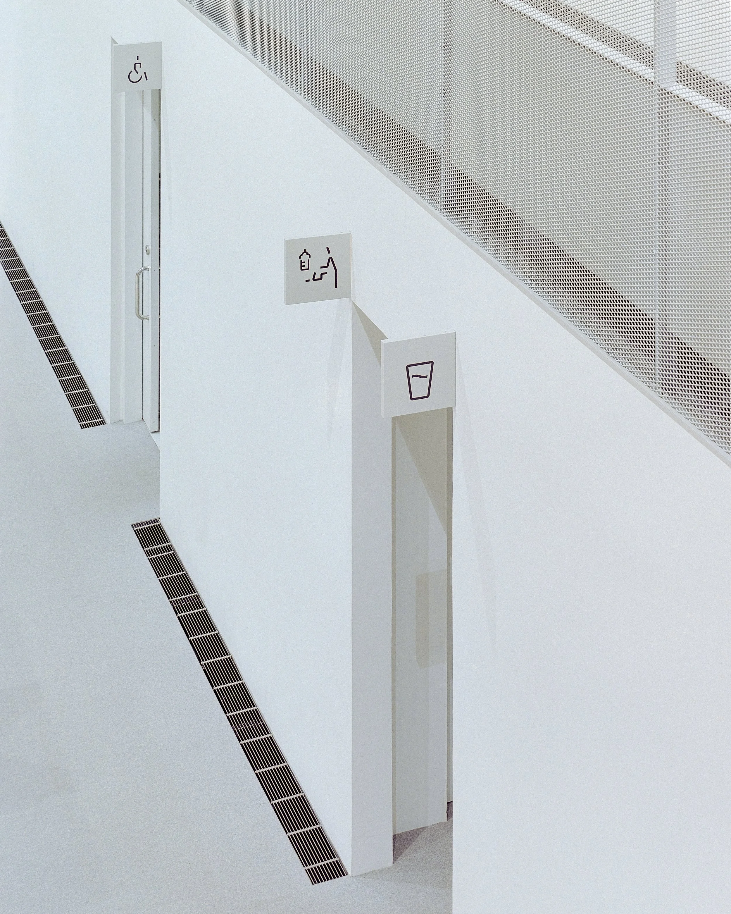
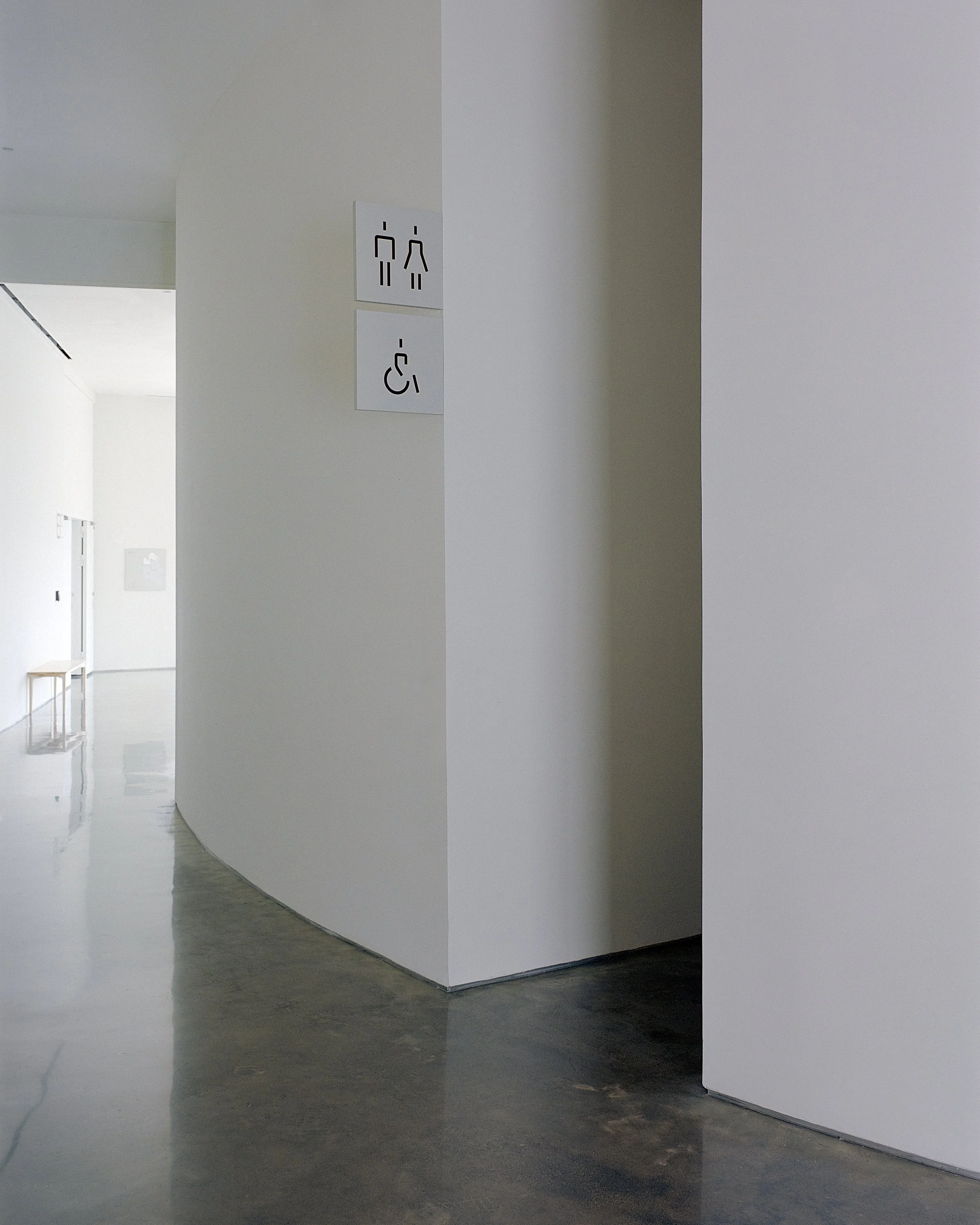
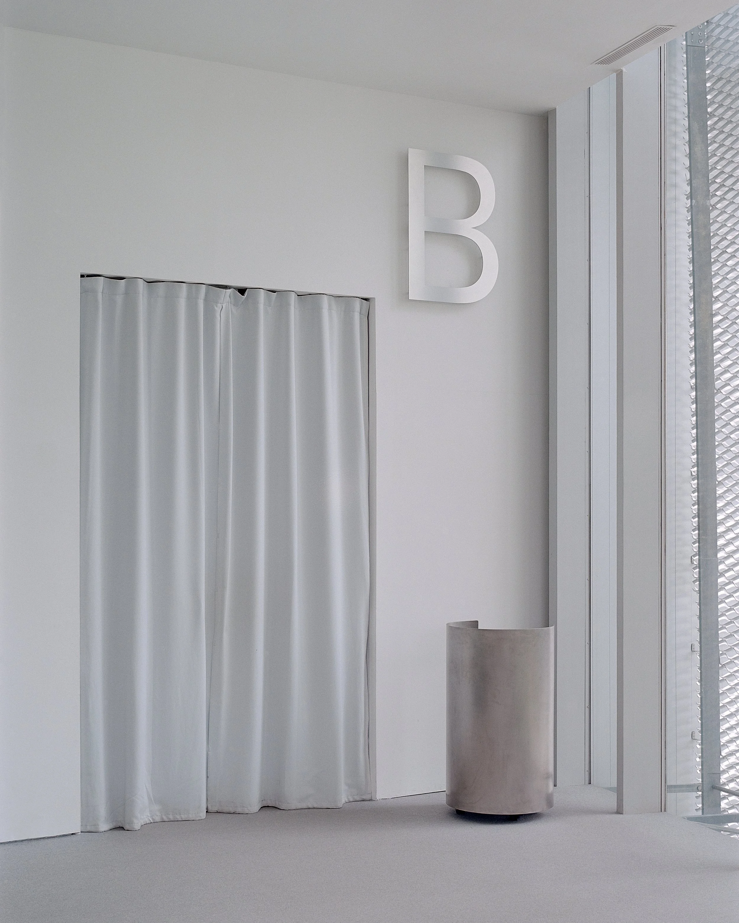
尋路系統因而成為建築經驗的一部分;在去中心且開放的空間中,它不試圖消除迷失,而是在辨識、移動與停留之間,讓人逐漸建立與空間的關係。
Wayfinding thus becomes part of the architectural experience. Rather than eliminating disorientation, it supports the gradual formation of a relationship between people and space through orientation, movement, and pause.